Pisgah Mountain Biking: North Carolina’s Old-School Gnar
Explore Pisgah mountain biking with this guide to the best trails & routes in North Carolina’s Pisgah National Forest. Adventure awaits!
Pisgah mountain biking is… rough, raw, steep, rugged, old school and… sometimes a little bit fun. That’s a joke, but I do think the ‘Pisgah Gnar’ is the appeal for riders who call Western North Carolina home. But for those visiting for the first time, Pisgah can be a rude awakening, to say the least.
I spent almost three months riding around the Brevard and Asheville area and while I can’t say I came to fully embrace Pisgah’s trails and terrain, I did come to appreciate them for what they are and their stunning rugged beauty.
In this post, I share everything you need to know about mountain biking in Pisgah National Forest including what to expect (read that section carefully), best trails, route recommendations, and more.
Let’s dive in!
Need Help Planning Your Trip?
I’d love to chat about your North Carolina mountain biking adventure! Click the link below to set up a trip planning session.
Why Mountain bike Pisgah?
That’s a great question. Not everyone will enjoy mountain biking in Pisgah. It’s rough and raw and any climb you do is going to be a big one and it will probably be at least 5 miles on a gravel road.
The climbing that is on singletrack will not be nicely switchbacked and the trails are wildly hit or miss. Some are awesome, while others will have you cursing and scratching your head and wondering what just happened. Am I selling it?
To be fair, there IS good riding in the Pisgah area, which includes the adjoining Bracken Preserve, North Mills River, and Bent Creek.
But I think a lot of people don’t realize what they’re getting into, so here are a few reasons to ride (or not ride) Pisgah National Forest:

Important Things to Know
There are definitely some things you should know before heading off into Pisgah for your first ride.
Pisgah mountain bike trail networks
Pisgah National Forest is actually really big – over 500,000 acres. If you say you’re going to ride in Pisgah, that could mean any handful of places.
In this post, I focus on the Pisgah riding networks around Brevard and Asheville, but there are other Pisgah networks even beyond these.
- Bracken Preserve
- Pisgah Ranger District
- North Mills River
- Bent Creek
Pisgah Area Mountain Biking Map
1. Bracken Mountain
Bracken Mountain is a small network of trails on the south side of Pisgah closest to Brevard.
There is one main 6-mile loop, but don’t let the short mileage fool you. It’s a climb to get to the top!
When I rode Bracken Mountain I hadn’t been in Brevard for very long and I was cursing my way to the top. But… I do think the descent is one of the best and flowiest in Pisgah.
If you’re looking to ease your way into Pisgah mountain biking, this is a good place to start. It only gets harder from here!
Bracken Mountain Route recommendation
>> Bracken Mountain Loop
This route is only 6 miles, but there are nearly 1,300 ft of climbing in 3 miles (that’s a lot).
As someone who doesn’t particularly enjoy sufferfest climbing, I do think the downhill is worth it.
Route directions: Bracken Preserve Parking > Bracken Mountain Trail > Pinnacle > Bushy Creek Trail > Bracken Mountain Trail
Route notes: There is limited parking at the trailhead. Pedal from town if you can.

2. Pisgah Ranger District
The Pisgah Ranger District is what most people refer to as “Pisgah”. It’s the largest network of trails with the most iconic descents like Black Mountain, Bennett Gap, and Avery Creek.
Accessing these trails, though, requires a hefty climb up a gravel road. In all honesty, the first time I rode ‘Pisgah’ the words “WTF” escaped my mouth more than a few times.
Not only are the gravel road climbs a grind, but Pisgah is old-school. Don’t expect a ton of flow (although there are flowy sections) and make sure your brake pads are nice and fresh.
#1: Pisgah Ranger District Route recommendation
>> Thrift to Black + Sycamore Cove
If it’s your first time to Pisgah, this is a great route to start with to give you an idea of what this place will throw at you.
The climb is up an old fire road and then you get one of the best descents in Pisgah: Lower Black Mountain (it’s more of a blue than a black after some major trail work).
Finish the ride with a bit more climbing up Grassy Road Trail to Sycamore Cove.
Route directions: Thrift Cove Trailhead Parking > Thrift Cove > Lower Black Mountain > Grassy Road Trail > Sycamore Cove
Route notes: You can take Sycamore Cove in either direction after climbing Grassy Road Trail. Following the route (staying left) will be more climbing while taking a right onto Sycamore Cove will be pretty much all downhill.
Do more: If you’re ready to jump into a bigger ride, the classic for Black Mountain is to pedal up Clawhammer Road to Middle Black, which is a great extension to Lower Black. You can see the route here. This will add about 5 miles and 1,000 ft of climbing.
Mountain Bike Packing List
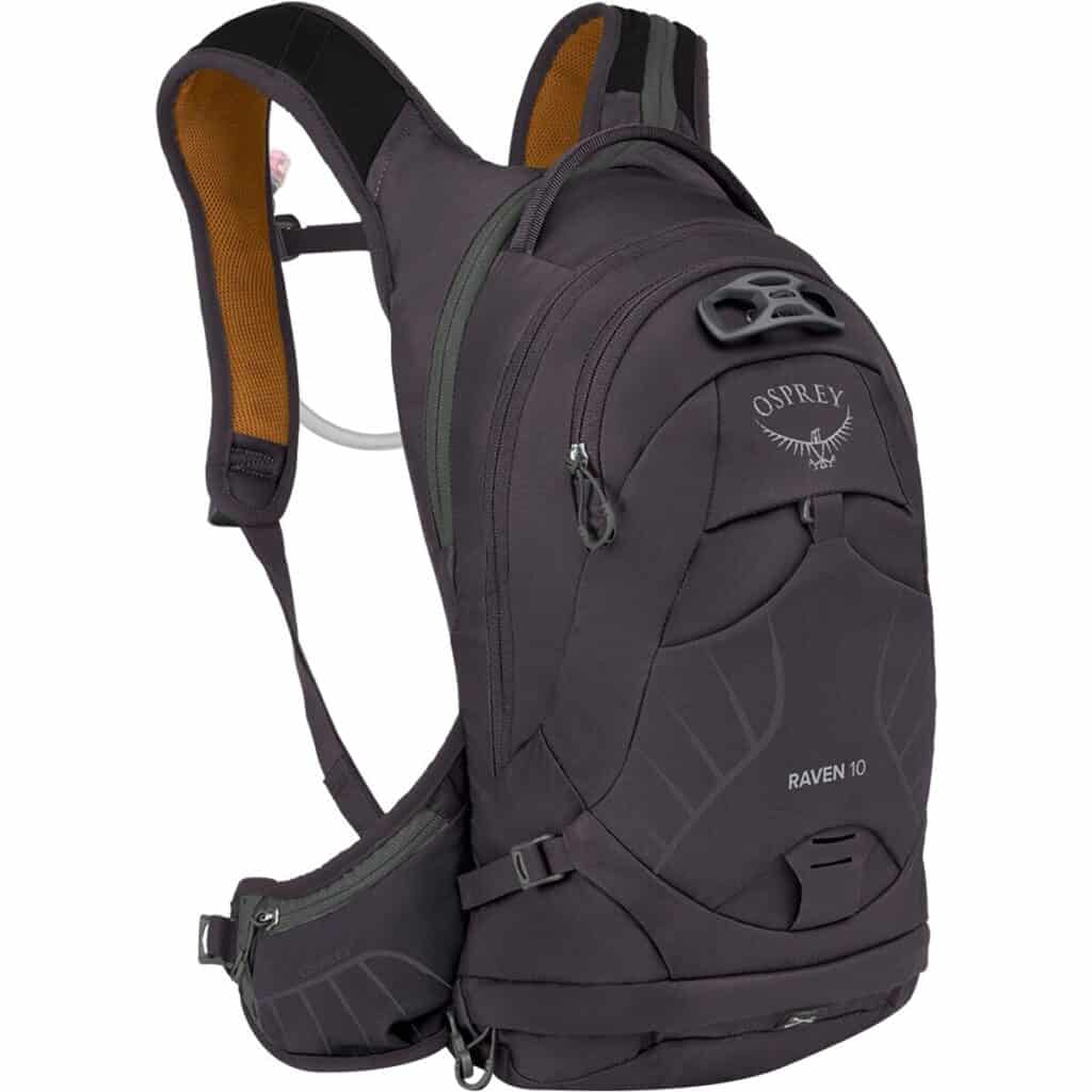
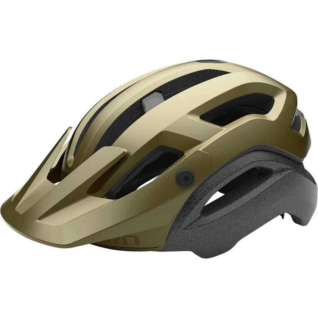
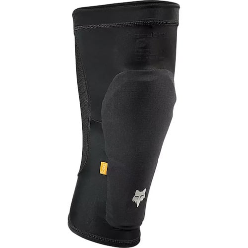
Below are a few of my favorite pieces of mountain biking gear and recommendations for your mountain bike trip or ride:

#2: Pisgah Ranger District Route recommendation
>> Cantrell to Squirrel Gap
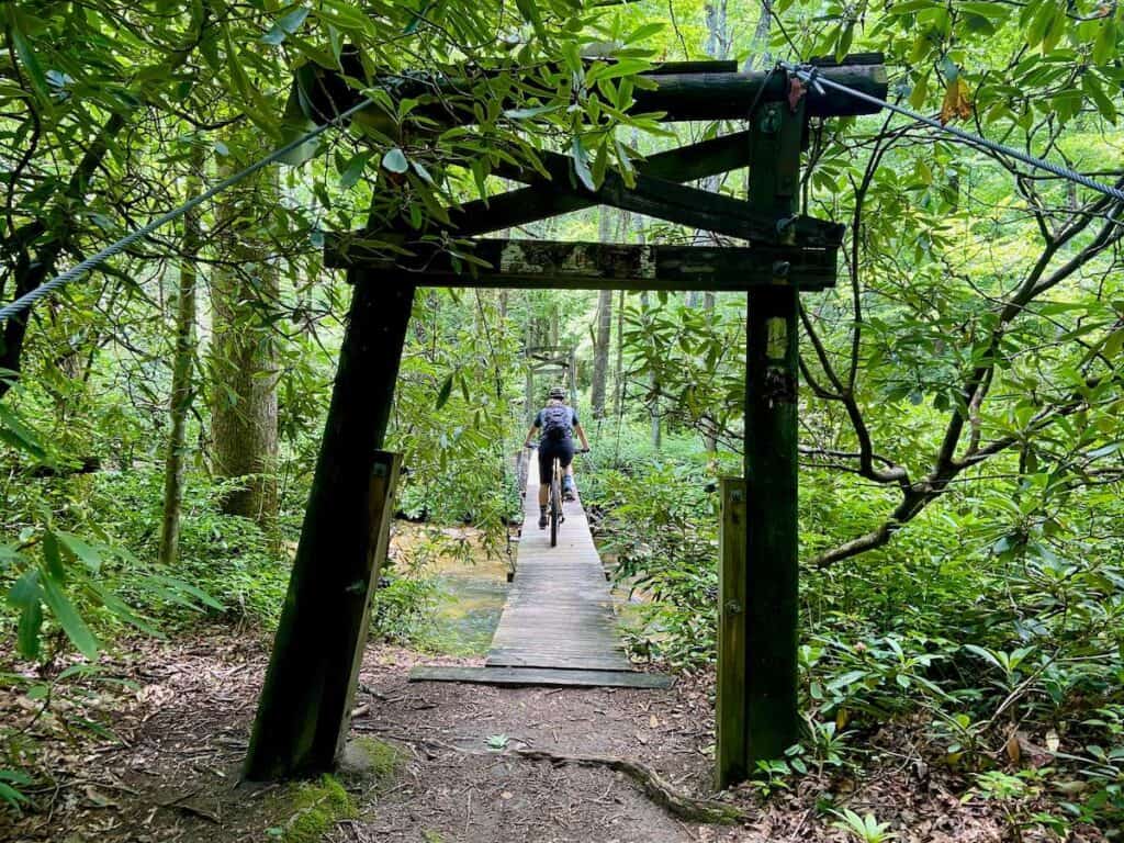
Turkey Pen is a bit farther north toward North Mills River. I really liked this area because it’s a bit less popular and there are some cool suspension bridges.
This route has the typical gravel/doubletrack climb before dropping into a steep, rocky, rooty descent.
Route directions: Turkey Pen Parking > Thrift Cove > Lower Black Mountain > Grassy Road Trail > Sycamore Cove
Route notes: There’s an awesome little swimming hole at the bottom.
Two other routes/trails worth doing in the Pisgah Ranger District are:
- Avery Creek – a good mix of fast flow and tech. A step up from Black Mountain.
- Bennett Gap – the most ‘downhill’ of downhill trails in Pisgah Ranger District. Advanced riders only on this one.

3. North Mills River
North Mills River is my favorite network of mountain bike trails within Pisgah. This area is a bit less busy than the Pisgah Ranger District and definitely less busy than Bent Creek.
But I love it for the trails.
I found the trails in North Mills River to be the perfect mix of Pisgah gnar and DuPont flow.
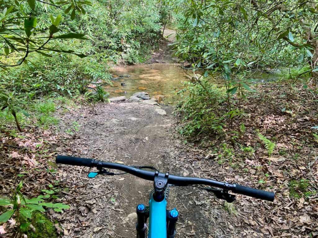
The climbs also don’t seem quite as bad and there’s an awesome little swimming hole down at the parking area.
#1: North Mills River Route recommendation
>> Spencer Gap to Fletcher Creek
This was one of my favorite routes during my whole three months in the Brevard area.
There is a substantial gravel road climb, but I found it to be more ‘enjoyable’ than the climbs in Pisgah Ranger District.
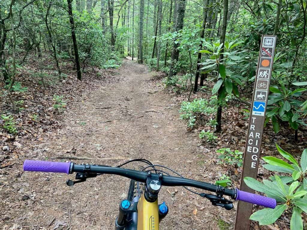
Spencer Branch, Fletcher Creek, and Lower Trace Ridge are all super fun and even have a bit of flow, which is hard to find in Pisgah.
Bring your bathing suit to jump in the river after your ride!
Route directions: Yellow Gap Road Parking > Wash Creek Road > Spencer Gap > Fletcher Creek Road > Fletcher Creek > Henderson Reservoir Road > Lower Trace Ridge
Do more: If you’re up for a much bigger day, climb back up Wash Creek Road after finishing Fletcher Creek and come down Trace Ridge. This will add about 7 miles and 1,000 ft of climbing.
#2: North Mills River Route recommendation
>> Laurel to Pilot Rock
So… I didn’t love this one. But I think that was more due to my mood than the actual route. I named it on Strava “The Ride That Would Not End”.
This is a classic ride for experienced Brevard/Asheville locals. The pedal up Laurel Mountain is a good challenge, but mostly rideable (if dry) until the very end, which is definitely a hike-a-bike.
Pilot Rock is also a local’s favorite. I thought it was ok… Typical steep Pisgah terrain with lots of loose rocks, not much flow, and some frustrating switchbacks. But awesome views and a unique trail!
Route directions: Laurel/Pilot Parking > Laurel Mountain > Pilot Rock > Yellow Gap Road
Route notes: This is a backcountry trail that feels very remote. Be sure you have your mountain bike pack essentials, plenty of snacks, and water or a water bottle filter.
Do more: If you have more in you, you can add on the Pilot Cove – Slate Rock loop. I haven’t done this trail, but I have heard that it’s more like a hiking trail than a biking trail, so…. It does add about 1,000 ft of climbing in 4 miles.

4. Bent Creek
Bent Creek is by far the ‘tamest’ of Pisgah mountain biking. It’s the closest network to Asheville, so it’s also the busiest and the trails are more developed while still maintaining a bit of Pisgah’s old-schoolness.
The black-rated trails are more like blues when compared to the other Pisgah trail networks.
If you tried North Mills River and Pisgah Ranger District and they weren’t for you, you’ll probably like Bent Creek (or you should head over to DuPont).
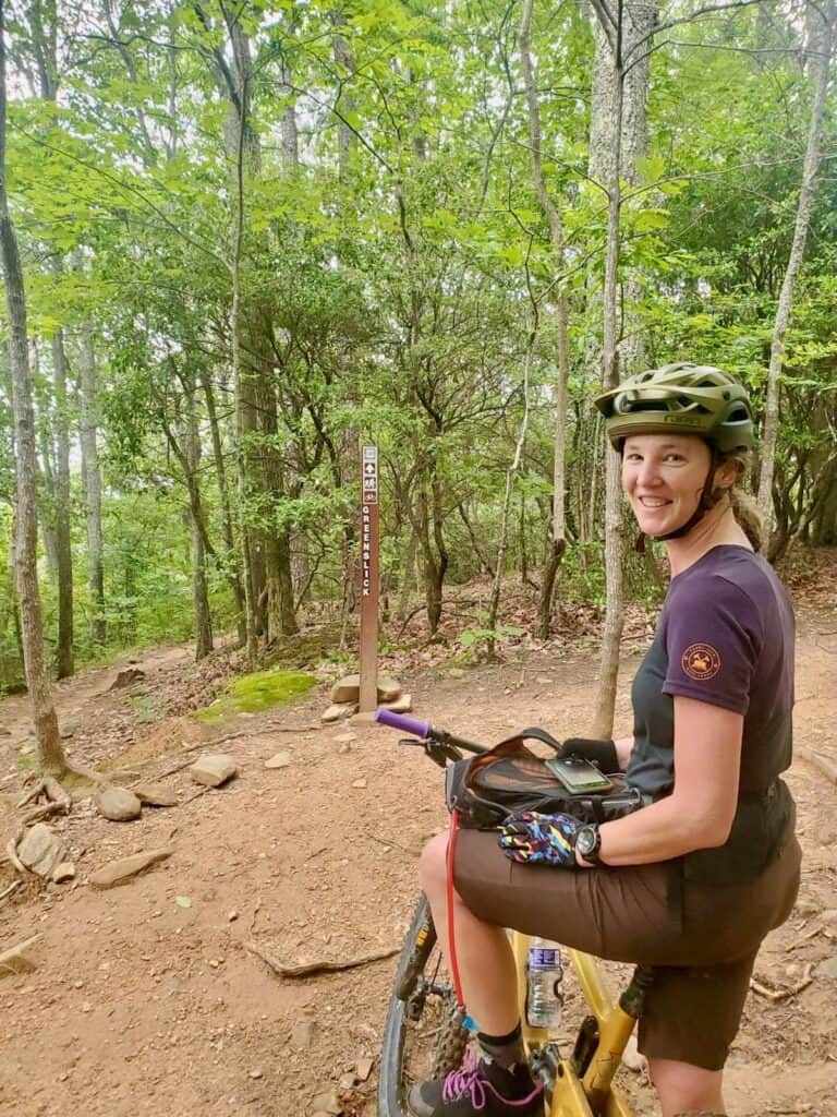
The trail to do in Bent Creek is Green’s Lick. It’s a bit of a climb to get up there, but it is a great descent.
Bent Creek Route recommendation
>> Bent Creek North
This is the classic route to do in Bent Creek. It hits the two most popular descents in the network – Green’s Lick and Ingles Field Gap. Both these trails are rated black on TrailForks, but compared to other Pisgah blacks, they’re definitely blues.
The climb is a bit of a grind… it’s mostly on gravel road with the final push on singletrack.
Route directions: Wesley Branch Parking (or Rice Pinnacle Parking if you want to get an annoying climb out of the way at the beginning) > Ledford Branch Road > Northern Boundary Road > Green’s Lick > Sidehill > Little Hickory Top > Ingles Field Gap > Wolf Branch > Deer Lake Lodge
Do less: Skip the climb up to Green’s Lick and cut the loop short at Ingles Field Gap.
Planning Your Pisgah Mountain Biking Trip
Pisgah can be its own mountain biking destination in and of itself or it can be a stop along a bigger road trip.
Either way, here are a few tips and resources to help you plan your visit:
Getting there
Pisgah National Forest stretches between Asheville, North Carolina, and Brevard.
It takes about 50 minutes to drive the length (on the main roads) so if you want to hit all of the trail networks, it’s worth planning your rides either north to south starting with Bent Creek or south to north starting with Bracken Preserve.
Getting around
You definitely need a car to explore Pisgah. The trailheads are outside of town and all the trail systems are far apart.
Best time to visit
Technically, Pisgah can be ridden year-round since the area doesn’t get a lot of snow. However, spring and fall are the best times to visit.
Spring brings amazing wildflowers and blooming mountain laurels and rhododendrons. These usually pop between May and June. I LOVED riding through the rhodie and mountain laurel tunnels when they were blooming!
Fall would also be a great time to visit if you want to catch cooler temps and changing fall foliage. I haven’t experienced Pisgah in the fall, but I’ve seen photos and it looks stunning. Temps typically start to drop around mid-September.
Summer is the most popular time to visit Pisgah and surprisingly, I found to to be not too hot. The temps might be in the 80s and humidity high, but the forest stays relatively cool thanks to the tree cover and Pisgah’s many rivers.

Bike shops
The Brevard/Asheville area has no shortage of bike shops. There are probably over a dozen between the two.
My favorite bike shop, though, is The HUB and Pisgah Tavern in Brevard. It’s got a service department, retail shop, mountain bike rentals, and a little bar to grab post-ride drinks plus a nice patio to enjoy them. There is also a daily food truck and a coffee truck.
Squatch Bikes in Brevard is another one to check out.
Where to eat & drink
There are a ton of great restaurants in the Brevard/Asheville area. Too many to list! Western North Carolina is also craft-beer central, so there are a ton of breweries.
Here are a few places that I loved:
Where to stay
Between Asheville and Brevard, there are tons of places to stay around the Pisgah area. Here are a few resources to get you started:
Free Camping
There are free dispersed camping sites in Pisgah National Forest. These sites do not have any facilities, so you need to bring everything with you and pack everything out.
They’re also first-come, first-serve and they get snagged quickly, especially on weekends.
Here is a map of the free dispersed campsites in Pisgah.
Avery Creek (AC) and Wash Creek (WC) are the best locations for mountain bikers.
Most of these sites also have no cell service unless you’re up on Yellow Gap Road.
Paid Camping
There are several paid campgrounds in Pisgah with showers, toilets, dump stations, etc…
Like the dispersed camping, though, these campgrounds have no cell service.
- Davidson River Campground: Nice campground on the banks of the Davidson River with good access to the Pisgah Ranger District Trails. Pricey, though, in my opinion.
- North Mills River Campground: Smaller campground in the North Mills River trail network. Great location, though, with a nice river that runs through it.
- Lake Powhatan Campground: Located in the Bent Creek area, this campground has access to the small Lake Powhatan and the Bent Creek Trails.
Hotels & Rentals
Brevard has a few hotels, but I prefer vacation rentals when I’m doing mountain bike trips because they come with laundry (very important in a hot, humid climate), kitchens, and bike storage.
If you’re looking for a unique setting, check out Pilot Cove Forest Lodging, which is conveniently located next to the HUB.
Other things to do around Pisgah
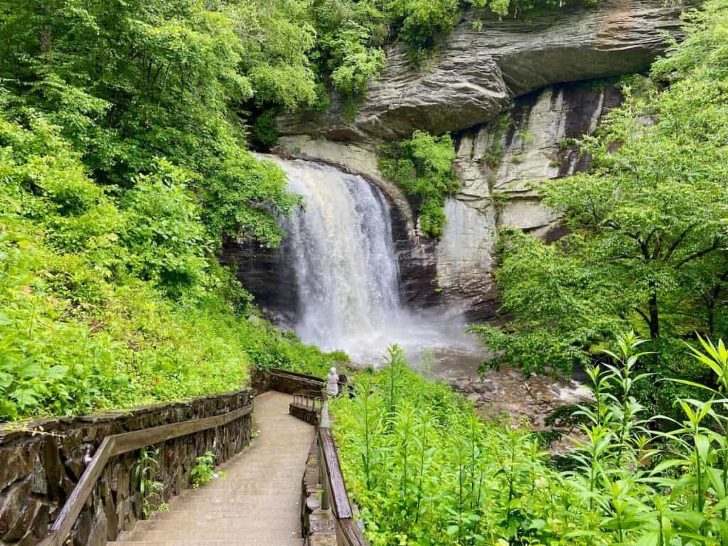
There are SO MANY awesome things to do in and around Pisgah. It truly is an outdoor playground. If you’ve had enough of the outdoors, Asheville offers some great cultural and dining opportunities as well.
Here are a few non-biking highlights from my 3-month stay in WNC:
Final Thoughts
To be honest, I’m still not quite sure how I feel about the mountain biking in Pisgah National Forest.
It’s weird.
I’ve ridden a lot of places and I can’t quite decide if I like Pisgah or I hate it. On one day I’ll go for an awesome ride and then the next day I swear to never ride Pisgah again. Maybe that’s the appeal.
There are great trails, but there are also monotonous gravel road climbs, more rocks and roots than you’ve probably ever encountered on one trail, steep climbs and even steeper descents, and very little mountain bike ‘flow’.
It’s old-school to the max. But people love it for that. It’s just important to know what to expect before setting off on the trails (or planning a trip) because not everyone is going to love Pisgah.
If you’re looking for something a little less intense, check out DuPont State Forest or the Tsali Loops.

RELATED POSTS
Planning a mountain bike trip to North Carolina? Be sure to check out these riding networks as well!
Have you done any Pisgah mountain biking? What have you heard about the riding here? Is it a place you’d like to visit? Leave a comment below!






Hey! This is a good breakdown for sure. I’m on the fence on new bike choice. One is more “down country” at 115 rear travel and one is more trail at 135. I definitely do some chunk, but I’m not a big air guy. Am I going to be crazy underbiked at 115? Bike similar to the Revel Ranger. I rode mostly in the Charlotte area right now, but I’m in the Asheville area regularly. Have ridden Bent Creek on a hardtail with like 100mm of travel, no issues.
Hi Korey – I guess my recommendation is to think about where you’ll be riding the most. If it’s Charlotte, the 115 bike would probably suffice. If you do want to ride more in the Asheville area and elsewhere, I think you’d have more fun on the 135. Also, it’s worth nothing that the 135 is more versatile. You can do both XC and Trail on that bike while the 115 bike keeps you pretty limited. Hope that helps!