
How to Shuttle Bend’s Mountain Bike Trails: Routes recommendations & helpful tips

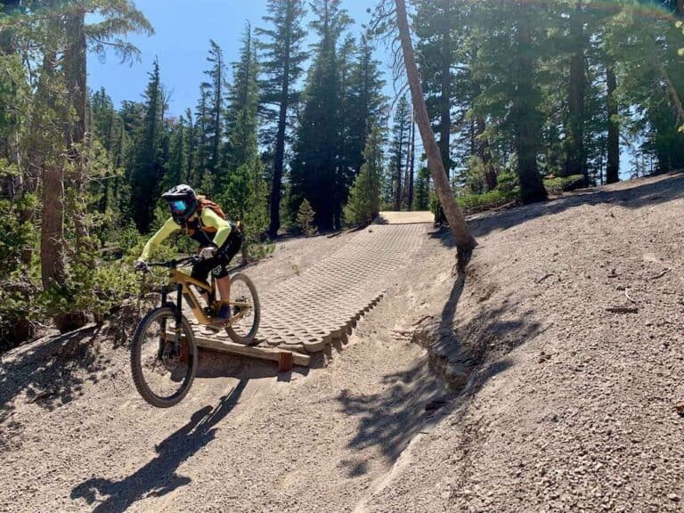
Bend’s singletrack is pretty legendary, with the popular Phil’s trail system just outside town and other great networks a short drive away. I love pedaling my way through the beautiful high desert pine forests, but shuttling is a popular way to get more flow and fun, especially in summer.
That said, I’ve learned that shuttling doesn’t mean zero climbing…. There’s still plenty of pedaling involved, so don’t expect an all-downhill day!
In this post, I share how to shuttle your mountain bike rides around Bend and what to expect, plus my favorite routes for one-way ride days.
Why shuttle Bend’s trails?
Shuttling options
You have two options for mountain bike shuttles in Bend:
- Shuttle yourself if you have two cars
- Book a shuttle through Cog Wild
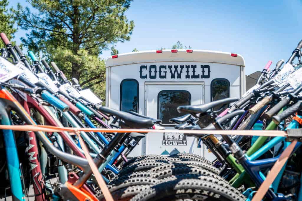
I highly recommend using Cog Wild because they are awesome and it’ll save you from extra driving and logistics planning. I did my Level 1 PMBIA certification with Lev, the owner, and he and his team are great. Their shuttles run on time, the drivers take good care of your bike, and they have multiple options for where to get dropped off (see more about that below).
You do need to reserve your shuttle by booking online ahead of time. Cog Wild is located at the LOGE Bend Hotel off of Century Drive.
Where to start & what to ride
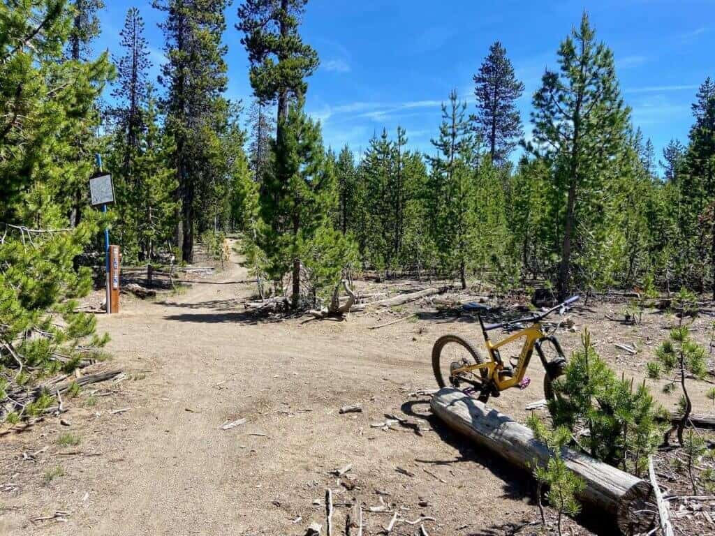
There are three main areas you can shuttle to outside of Bend: Wanoga, Swampy, and Dutchman Flat. If you’re looking for something farther afield, keep scrolling for additional ride options.

1
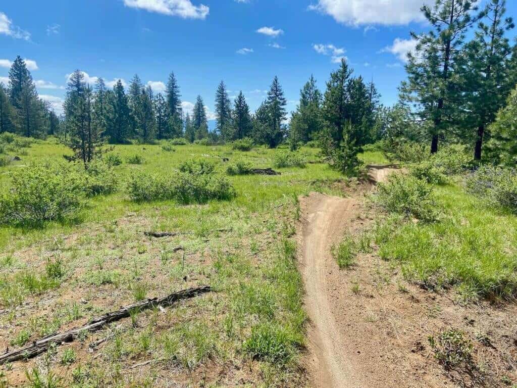
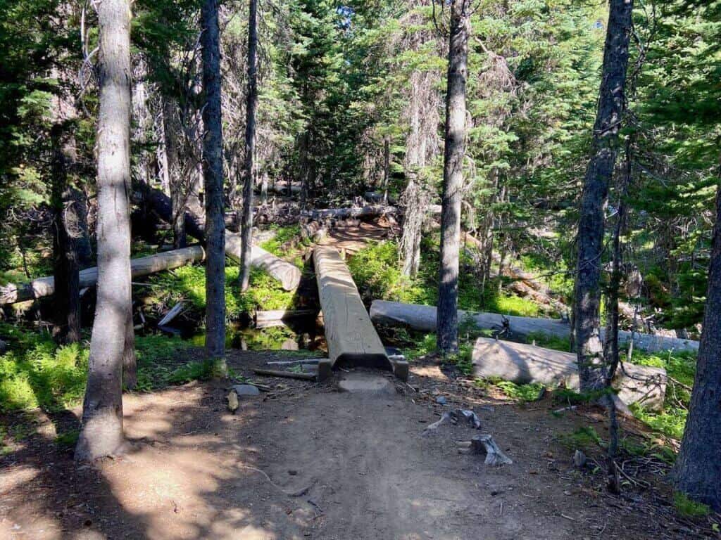
From Wanoga
Wanoga is the trail network right above Phil’s and it requires the least amount of ‘bonus’ pedaling (there will still be some climbing…). The three trails to focus on here are Funner, Tiddlywinks, and Tyler’s Traverse. Here are a few one-way shuttle routes I like:
2
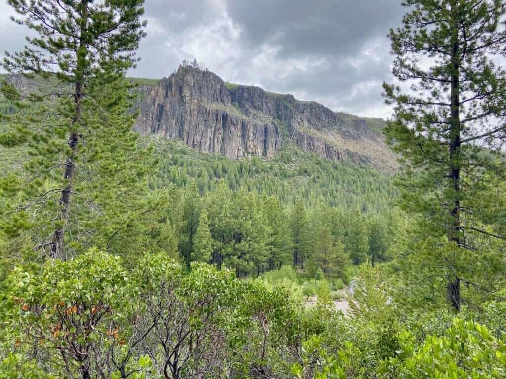
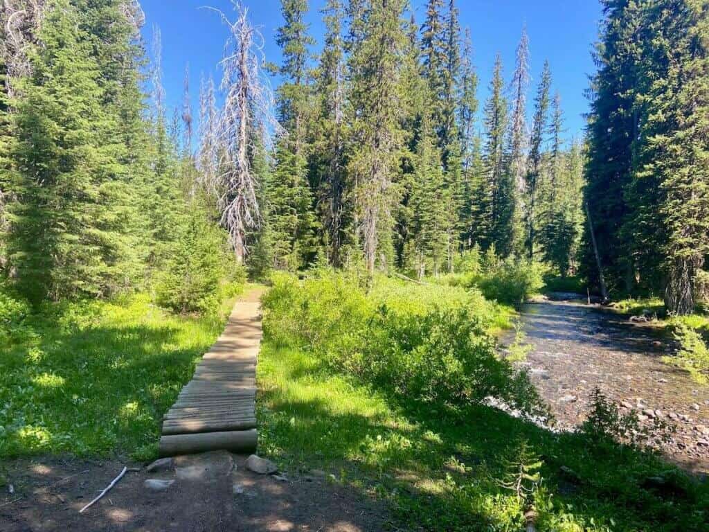
From Swampy Lakes
The Swampy Sno-Park trailhead is just a bit farther up from Wanoga and provides access to the other side of the ridge. The terrain here is more lush and reminds me of the Pacific Northwest. You will need to climb at least 600 ft (or much more) no matter what route you choose!
3
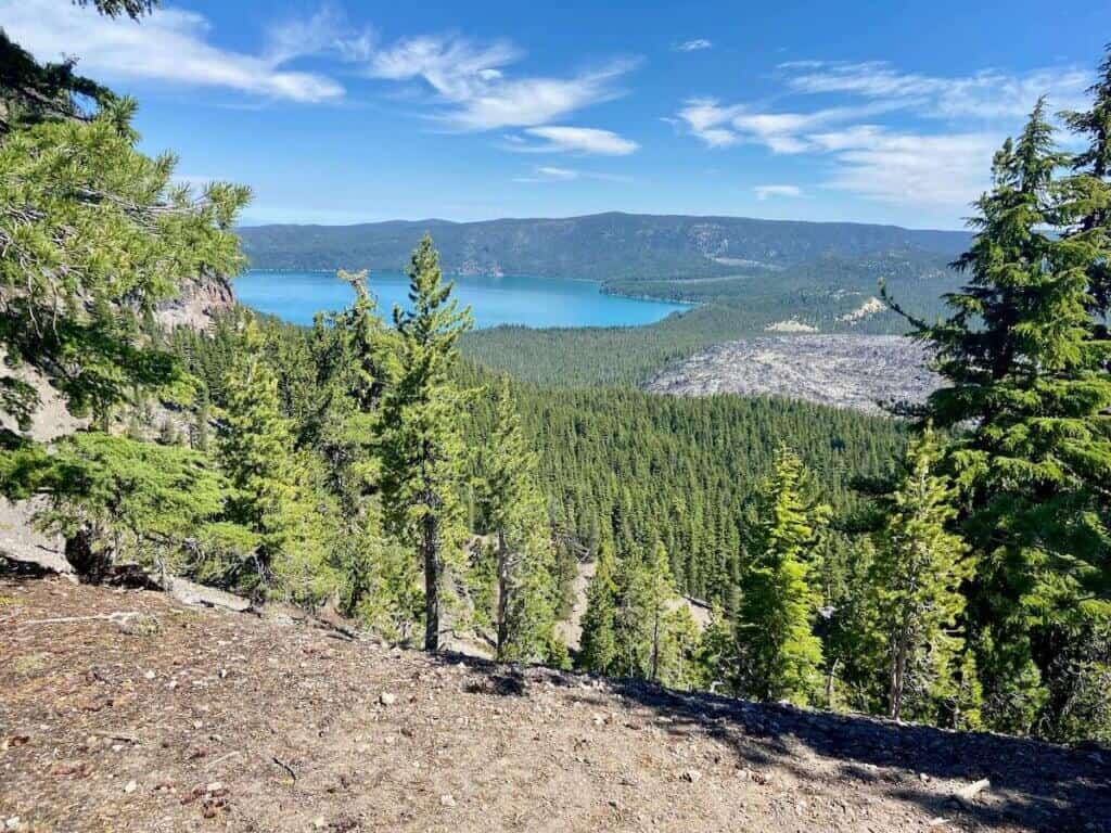
From Dutchman Flat
Dutchman Flat is the highest shuttle drop-off and gives shuttlers the opportunity for a big backcountry day. You need to be prepared for a 25-30+ mile ride with quite a bit of climbing (1,500 ft+) regardless of your route.
Before you head out…
More shuttled rides outside of Bend
Still looking for more? Here are two other Bend mountain bike shuttle options:
McKenzie River Trail
The McKenzie River Trail is about an hour from Bend and offers 20+ miles of riding along a stunning, crystal-clear river. It’s got a bit of everything—smooth flow, lava rock tech, and more challenge than many riders expect.
You can catch a shuttle from Bend with Cog Wild, but a better option is Horse Creek Lodge near the trail’s end. They offer multiple shuttle times and a cold beer when you finish.
Newberry Crater
I’ve ridden Newberry Crater as a loop, which was awesome. Cog Wild also offers a private shuttle option from Horse Butte (where you leave your car) to Newberry Crater. You can then ride the Crater Rim Trail, but instead of finishing the loop, you’ll take Swamp Wells back to your car at Horse Butte.
This is close to a 40-mile day.
You also miss the super fun descent back to the parking area at Newberry Crater! I haven’t done the shuttle, but I highly recommend the loop.
Need gear recs?
Head over to my gear closet! I’m always testing out new pieces of bike gear and if I really like them, they earn a place on this page.
Shuttling is an awesome way to cover more ground and hit some of the best trails around Bend. If you’ve got two cars, you can DIY it—but booking with Cog Wild is super easy and highly recommended.
Just keep in mind that even with a shuttle, you’ll still be climbing and putting in 15–20+ miles. Bring plenty of water, snacks, and make sure you know your route so you don’t end up miles from your car.
Have fun out there!
What is your favorite shuttled mountain bike ride in Bend? Have you ridden any of these routes? Let my know in the comments!
Read next
Want even more planning tips? Download my 4-Day Bend Mountain Biking Itinerary


respect ebike ban? there is no way I will visit Bend. Oakridge is a better option for ebikes.
E-bikes are not allowed in Bend because the trails are designated as non-motorized trails on USFS land. It’s not because ‘someone made a ban’. Enjoy Oakridge.