
Biking The Deschutes River Trail from Sunriver to Bend, OR
Looking for a stunning pedal? The Deschutes River Trail is a beautiful 11-mile stretch of singletrack that runs parallel to the Deschutes River between Bend, Oregon and the small town of Sunriver to the south.
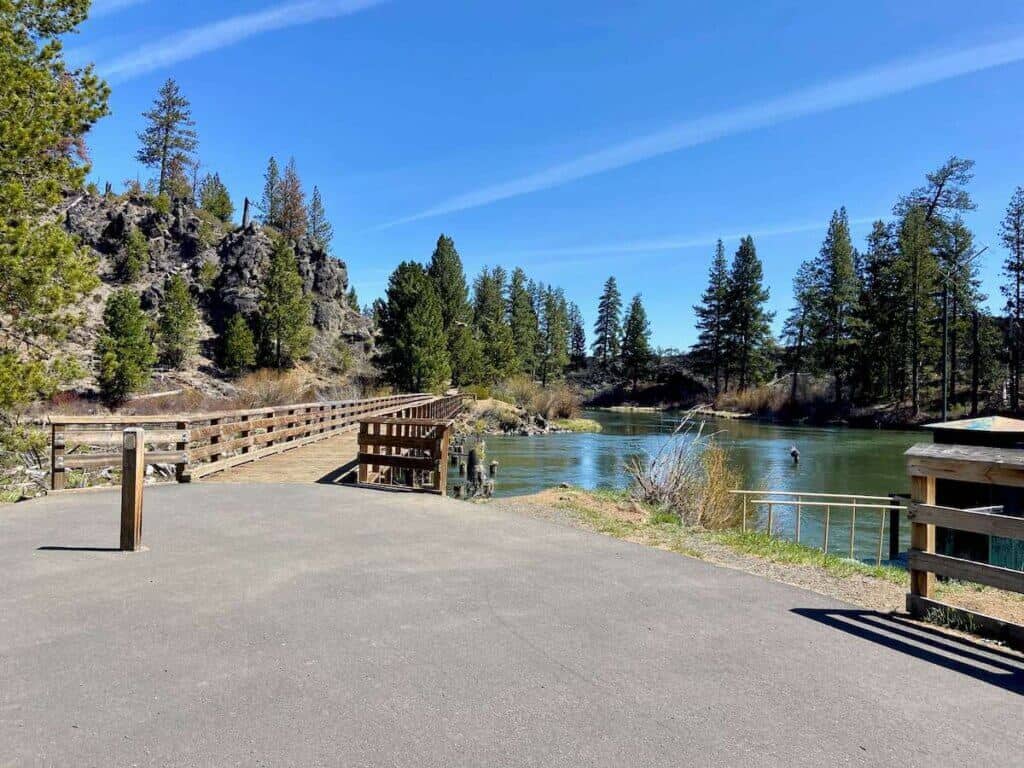
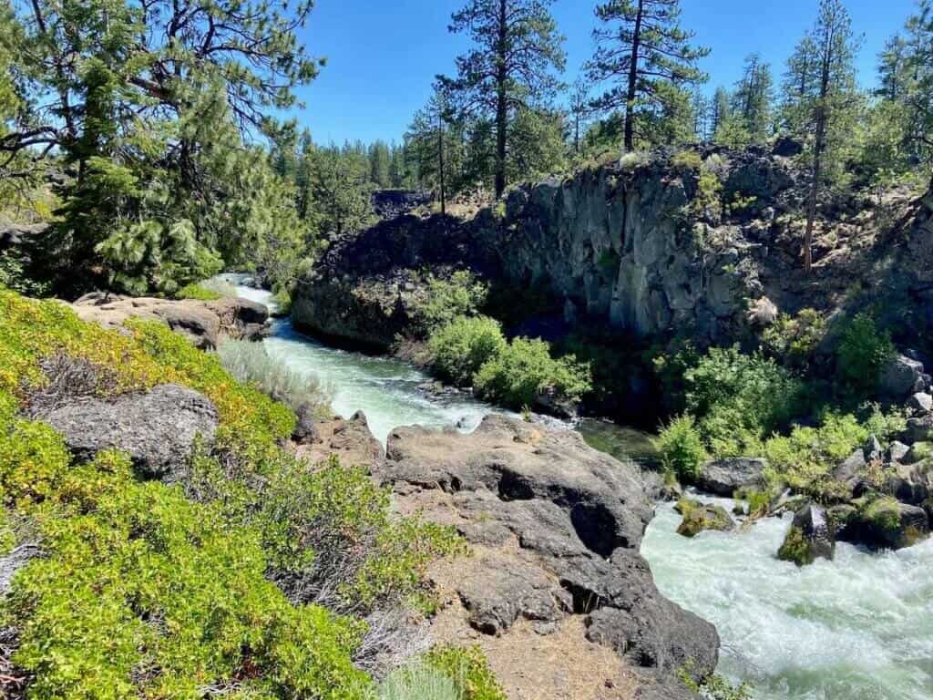
Along the way, the trail passes through pretty meadows and alongside secluded swimming holes, sandy beaches, and quiet picnic spots. It’s one of my favorite trails to ride in Bend for its beauty and tranquility.
But there are a few important things to know about biking the Deschutes River Trail, particularly where to start and what sections you might want to avoid.
In this post, I share my tips on how to make the most of your ride. Let’s ride!
Note: This is not the Deschutes River Rail Trail outside of The Dalles in Oregon. This is the Deschutes River Trail in Bend, Oregon.
The Deschutes River Trail at a Glance
These are one-way stats for the Deschutes River Trail. The trail out and back would be 22 miles.
*As measured by my Garmin Fēnix watch
**I always recommend having TrailForks or MTB Project downloaded to your phone
Important Things to Know
Mountain biking the Deschutes River Trail is awesome, but there are a few things to know before hitting the trail:
Deschutes River Trail Map
The full trail runs from Bend, Oregon to the small town of Sunriver to the south.
Note that the direction on the map below is the opposite of how I recommend riding it. If you shuttle, it’s mostly downhill 😁. (See ‘How to ride the Deschutes River Trail Below’).
How to Bike the Deschutes River Trail
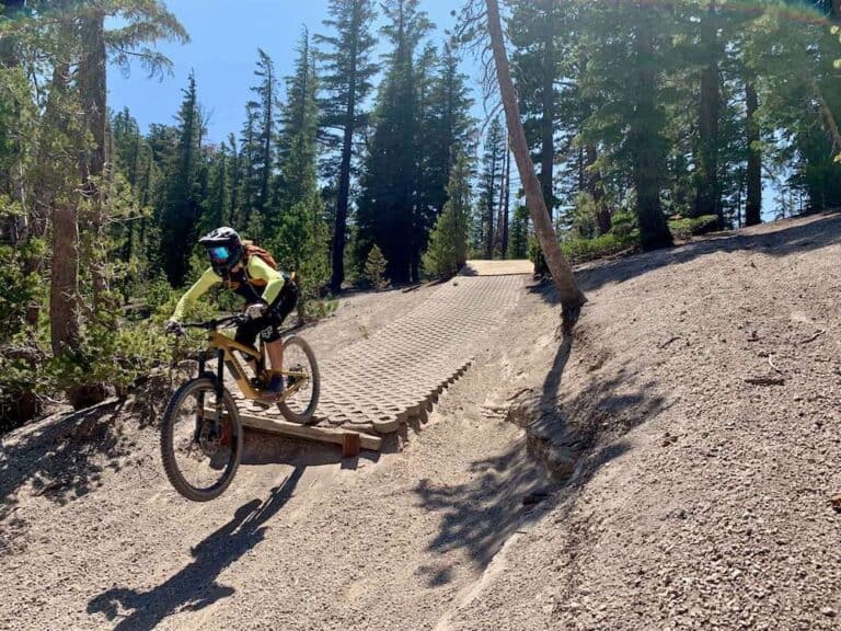
I actually don’t recommend riding the Deschutes River Trail from town. The first few miles are rocky and technical in places and there’s more climbing than most people realize.
Here are two ways I recommend mountain biking this trail:
Route recommendation
1. Shuttle out to Lava Lands Visitor Center
This is my favorite way to ride the Deschutes River Trail. It does require two vehicles, but you get to enjoy the full trail. It’s also (mostly) downhill!
To ride the Deschutes River Trail as a shuttle, park one car at the Rimrock Trailhead (also called Good Dog Park) and drive a second car out to Lava Lands Visitor Center.
If you don’t have two cars, I have taken an Uber from town back to Lava Lands after dropping off my bike at the end of the ride. It was about $30.
Route directions: Lava Lands Visitor Center > Blackrock > Deschutes River Trail > Rimrock Trailhead (aka Good Dog Park) OR Meadow Day Use Area
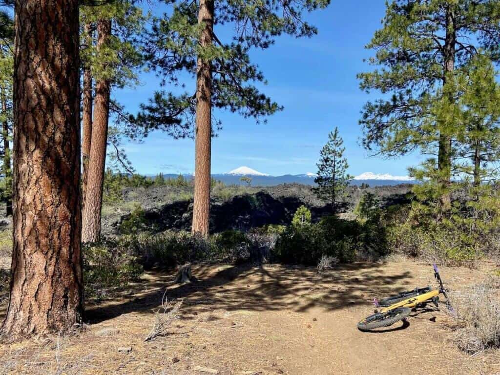
Route notes: The ride starts on Blackrock trail, which has great views out over Mt. Bachelor and the Three Sisters. You can even bike up onto the lava rock flow if you want.
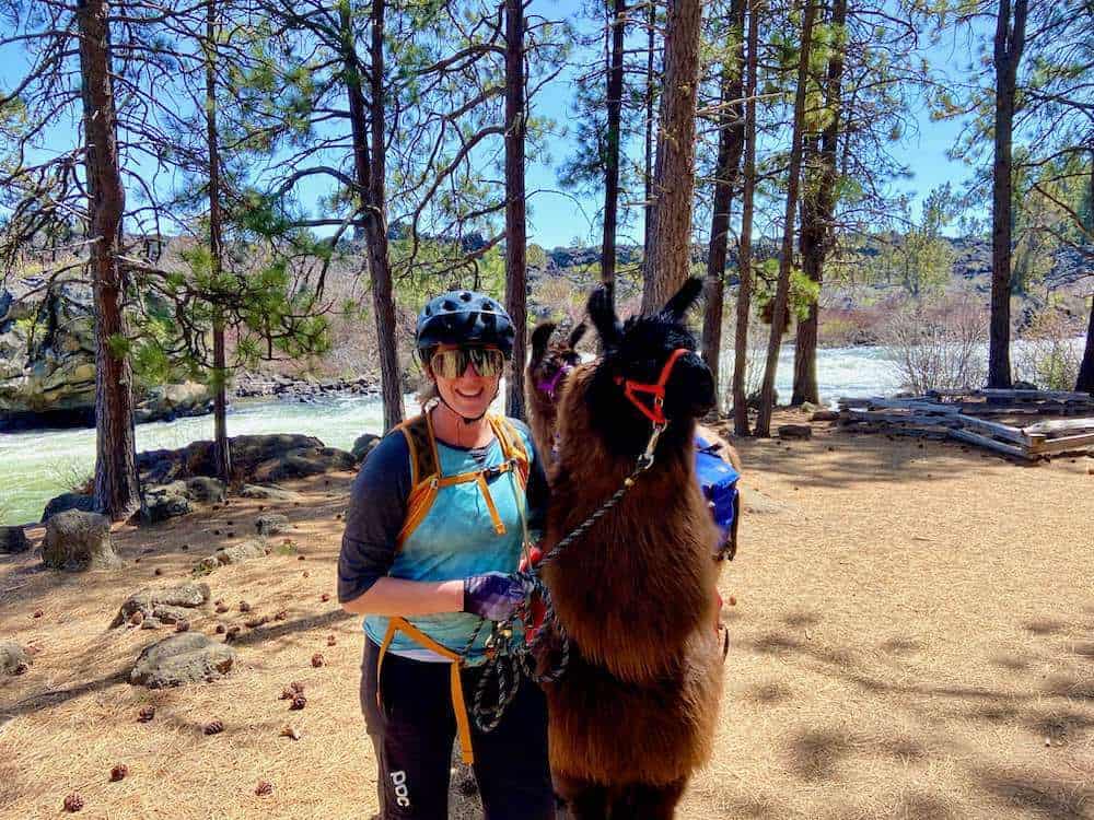
After exiting Blackrock, you’ll get on a paved bike path for a short stretch before crossing a bridge to the Deschutes River Trail. This section can be very busy with hikers, but the crowds thin after a mile or two.
The next 8 miles or so are super fun, flowy, and scenic with very little climbing. Take your time and enjoy it! Stop for photos, snacks, or even a nap on a nice beach.
The last two miles back to Rimrock Trailhead are definitely more technical with some punchy climbing. You may need to walk some sections.
Make it shorter & easier: If you want to skip the last few technical miles, I recommend parking at the Meadow Day Use Area instead of Rimrock Trailhead. This will cut off about 2 miles and the most chunky section of the trail.
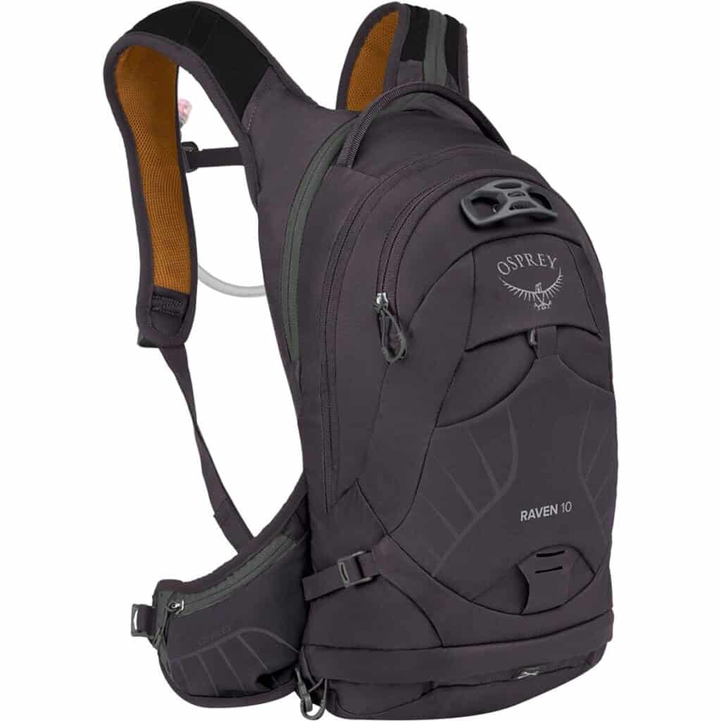
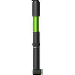
Deschutes River Trail Packing List
Below are a few of my favorite pieces of mountain biking gear and recommendations for your Deschutes River Trail ride:


What Type of Bike Do You Need?
The Deschutes River Trail is dirt & gravel singletrack, so it’s best to have a mountain bike or a wider-tire gravel bike. A hardtail would be fine. I don’t recommend a cruiser bike.
Route recommendation
2. Out & Back from Dillon Falls
If you don’t have two cars to do a shuttle or you simply prefer to do an out-and-back, I recommend parking at Dillon Falls and riding the Deschutes River Trail south to Benham Falls.
From there, you can choose to do the Sunriver to Lava Rock loop before returning to Dillon Falls the way you came.
Route directions: Dillon Falls Parking > Deschutes River Trail > Sunriver to Lava Rock loop > Deschutes River Trail
Route notes: This section of trail can get very busy with hikers in the summer. It’s best to ride it on a weekday, or better yet, during the spring or fall shoulder seasons. Please share the trail and be kind and courteous.

Final Thoughts
The Deschutes River Trail is a beautiful stretch of singletrack between Bend, Oregon and Sunriver. You can ride it as an out-and-back, but I highly recommend doing it as a one-way shuttle if you can.
This way, you can really enjoy the full trail and make a day of it by packing a picnic.
If you don’t have a shuttle and don’t want to try the Uber method, starting at Dillon Falls gives you the best bang for your buck.
Happy trails!
Looking for more fun things to do?
Check out these popular tours in Bend
RELATED POSTS
Looking for more biking adventures around Bend, Oregon? Check out these blog posts:
Have you biked the Deschutes River Trail? What was your experience like? Leave a comment below!


What about EBikes?
E-bikes aren’t allowed… Bend is actually pretty strict about keeping e-bikes off the trails…