VTXL Planning Guide: How to Bike the Length of Vermont
Start planning your trip on the VTXL route that traverses the length of Vermont. Learn where to stay, what to pack, insider tips, and more.
I can’t remember when I first saw the VTXL bikepacking route on Bikepacking.com, but I do know that I immediately said “I want to do that!”.
Fast forward a few years (and many other biking adventures), and I finally found myself gearing up for a 6-day trip down the length of Vermont – my home state – with my dad.
The VTXL is a 302-mile gravel ride created by the intrepid route planner Joe Cruz. It crosses the state from the upper right-hand corner on the Canadian border all the way down to the lower left corner bordering Massachusetts and New York.
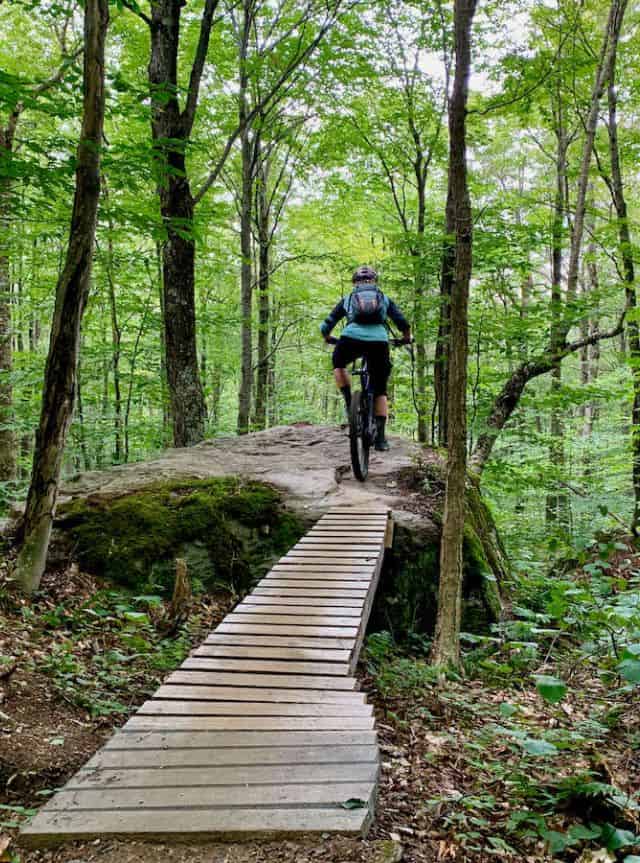
Along the way, there is over 30,000 feet of climbing, ALL kinds of dirt roads from hardpacked gravel to loose and steep class IV tracks, and even a little bit of singletrack.
The route passes by farms and landscapes straight off a postcard, quaint towns and general stores stuck in time, and so many maple syrup stands you could probably sustain yourself just on the sweet stuff.
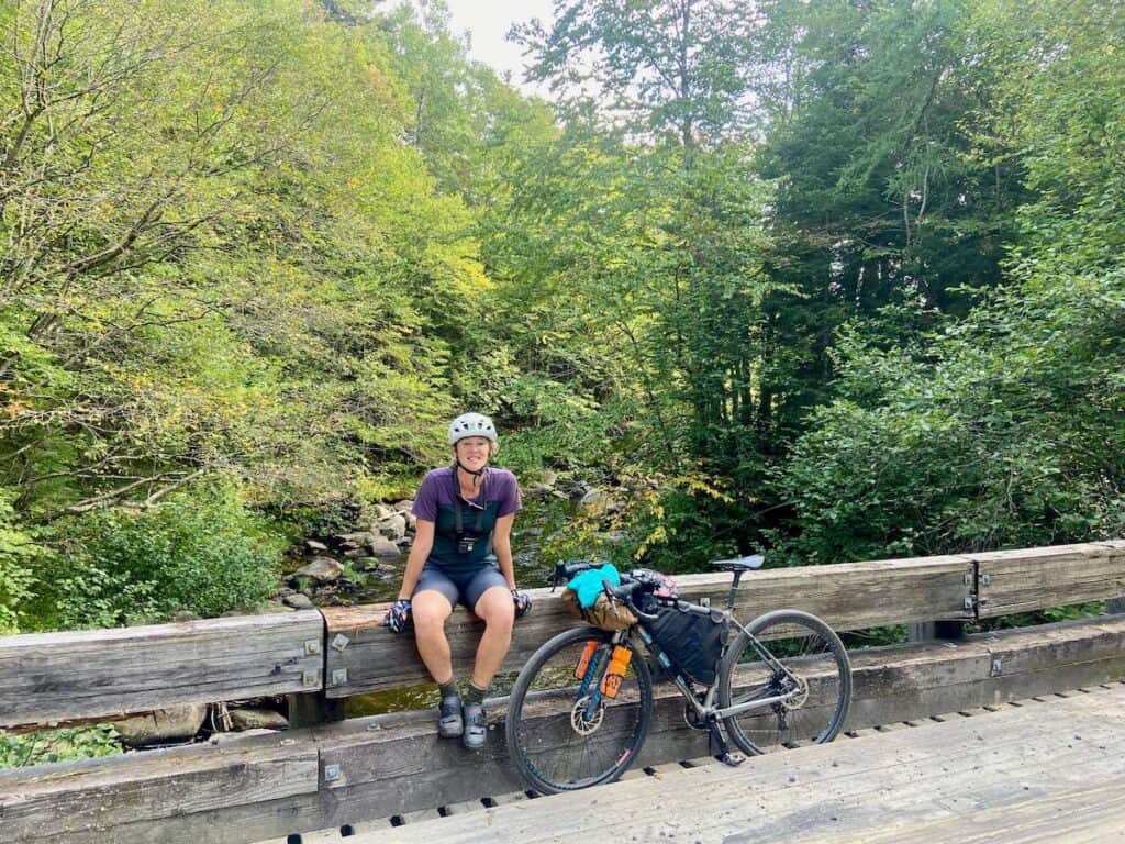
I loved pedaling the VTXL and doing it with my dad made it even more special. We did stay in Bed & Breakfasts, but you could make this a bikepacking trip by packing your camping gear (although see my argument below for staying in accommodations…)
Sound like your kind of adventure? Read on to learn how to plan your VTXL ride!
Need Help Planning Your Trip?
I’d love to chat about your Vermont mountain bike adventure! Click the link below to set up a trip planning session.
Need Help Planning Your Trip?
New to bikepacking? I’d love to help you plan your first (or next) overnight trip! Click the link below to set up a Q & A session.
The VTXL at a glance
These are the stats from my trip, which may differ from yours depending on where you stay and if you deviate from the route to get supplies.
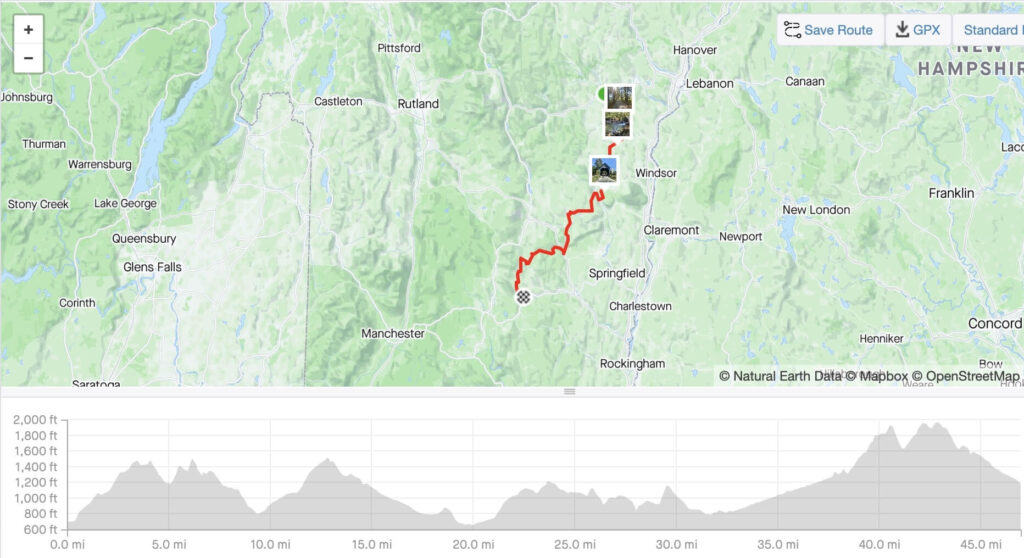
The VTXL Map
See the VTXL on Bikepacking.com
The VTXL Overview
The VTXL stretches the length of Vermont from the top northeast corner on the Canadian border down to the southwestern corner at the junction of Massachusetts and New York state lines.
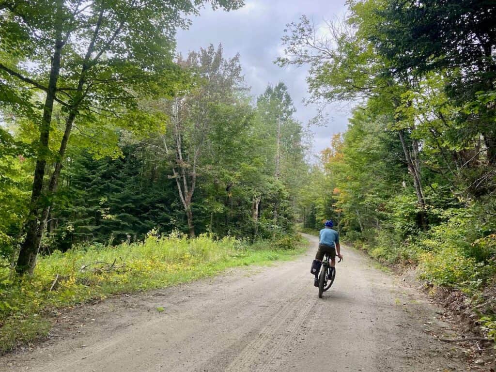
But the route doesn’t take the easiest or most straightforward path – not in the least! Instead, the VTXL meanders along lightly traveled back roads, up and down Class 4 tracks where you’re more likely to see a moose than a human, and even on a bit of singletrack up and over Stratton Mountain.
What are Class 4 roads? They are roads that are not maintained by the state or town. Most of them are used by ATVs in the summer and snowmobiles in the winter.

The VTXL passes through some of Vermont’s smallest and quaintest towns with opportunities to see ‘the real Vermont’ from falling down barns to flourishing homesteads.
True to its nickname The Green Mountain State, there is also a lot of climbing. Hills are followed by more hills. I found the ups to be pretty manageable, though. Some are steep, but they’re never too long or grueling (that being said, I’ve done a lot of different bike trips so my comparison points are probably skewed. The climbing is real).
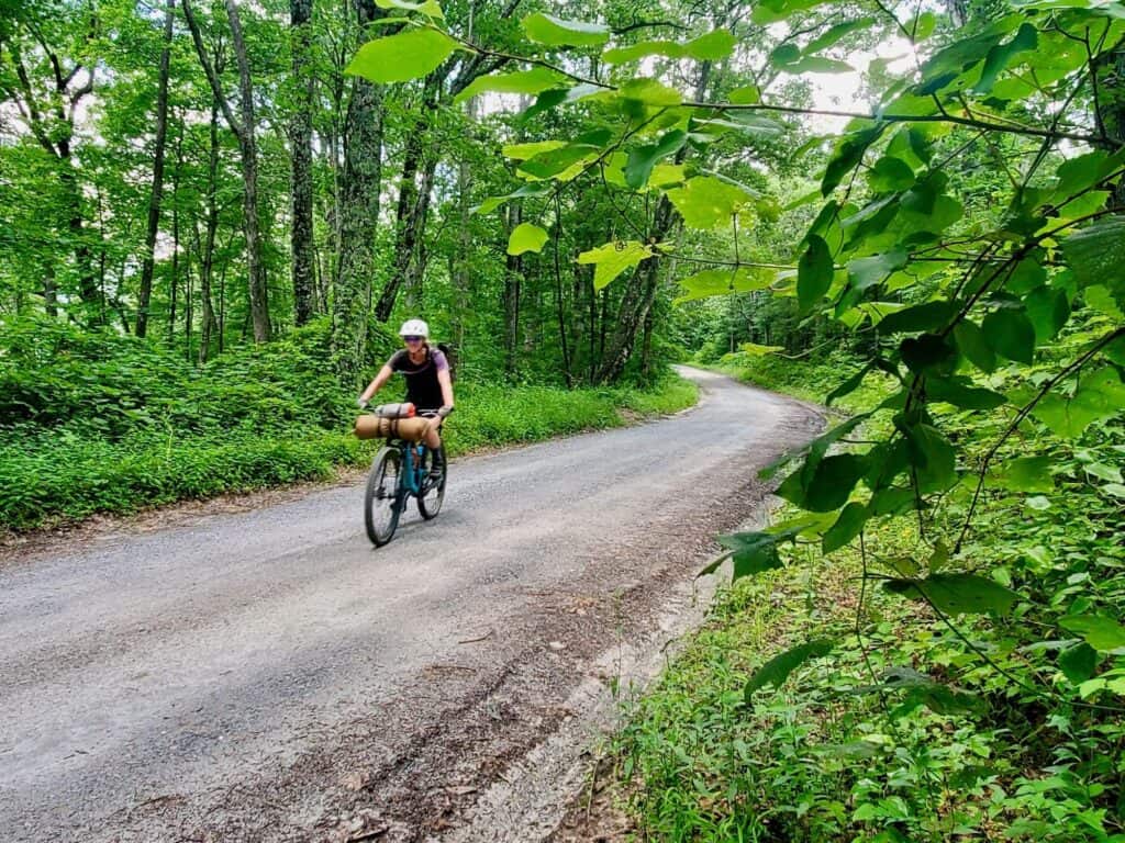
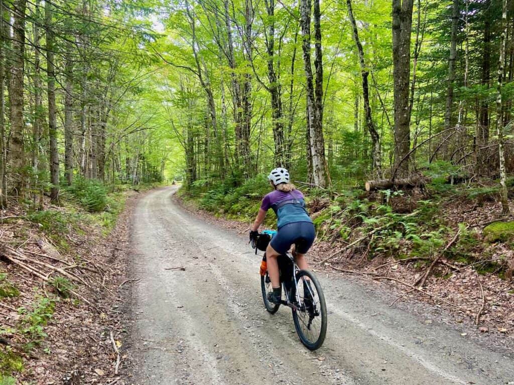
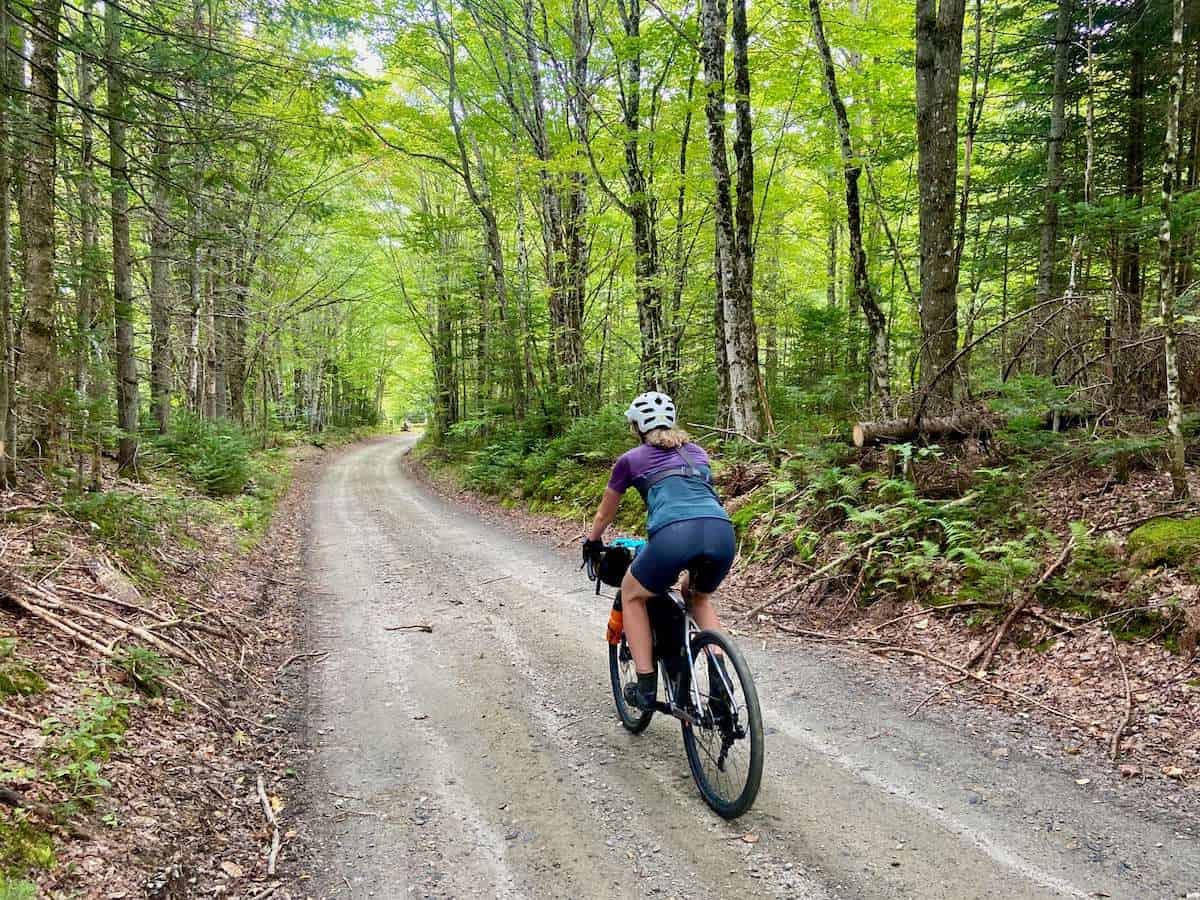
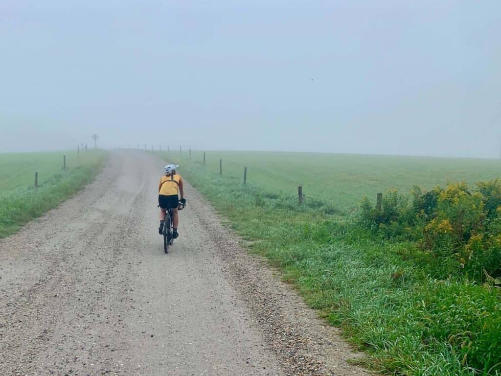
I think the biggest surprise for me, though, was the variety of roads that make up the VTXL. It is not all smooth gravel sailing to the end. We encountered dirt as hard and fast as pavement, but we also grinded up loose and rocky tracks where a mountain bike would have been more suitable.
That’s what I loved most about this route, though. Every day was different and there certainly was no monotony or boring moments.
Highlights of The VTXL
Important Things to Know
Biking the VTXL is awesome, but there are a few things to know before setting off:
Camping is not ideal
Don’t get me wrong, I love camping while bikepacking, but on the VTXL camping will be a challenge.
Not only will you have to carry more gear, but figuring out food supplies will be hard (you’ll most likely have to go off-route), campgrounds are not evenly spaced (and ‘free’ camping is really only allowed in Green Mountain National Park in southern VT), showers are not guaranteed, and the bugs…
If you’re set on camping, I recommend being open to a night or two at some sort of accommodation.
Mountain bike skills will come in handy
Some of the Class 4 roads along the VTXL are better suited for mountain bikes, not gravel bikes. Riders who aren’t mountain bikers may need to walk sections and the climb up Stratton Mountain may be… challenging.
Bring a water filter
I made the mistake of not bringing one and I survived, but the ride would have been more comfortable with a filter.
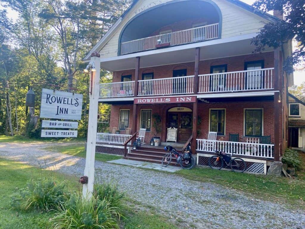
Stay at the Rowell’s Inn on Th, Fr, or Sat
The Rowell’s Inn was my favorite Bed and Breakfast we stayed at, but the restaurant (which serves great burgers) is only open Thursdays, Fridays, and Saturdays.
Check & double-check you have the route downloaded
You absolutely need a GPS map to navigate the VTXL. Cell service is intermittent, so make sure you have the route fully downloaded.
Planning your VTXL Bike Trip
I know that part of the appeal of doing a long-distance bikepacking or bike touring trip is riding off into the unknown, but having some sort of idea of what to expect can be helpful.
Here are a few planning tips for your VTXL trip:
Which direction to ride
The VTXL can be ridden both south to north or north to south. I rode it north to south from Caanan to the Mass. border.
The elevation gain/loss is almost identical either way and Joe Cruz – the creator of the route – mentioned that the riding is slightly easier going south to north.
However, here are my arguments for going north to south:

Transportation
One of the hardest parts of planning the VTXL is figuring out transportation.
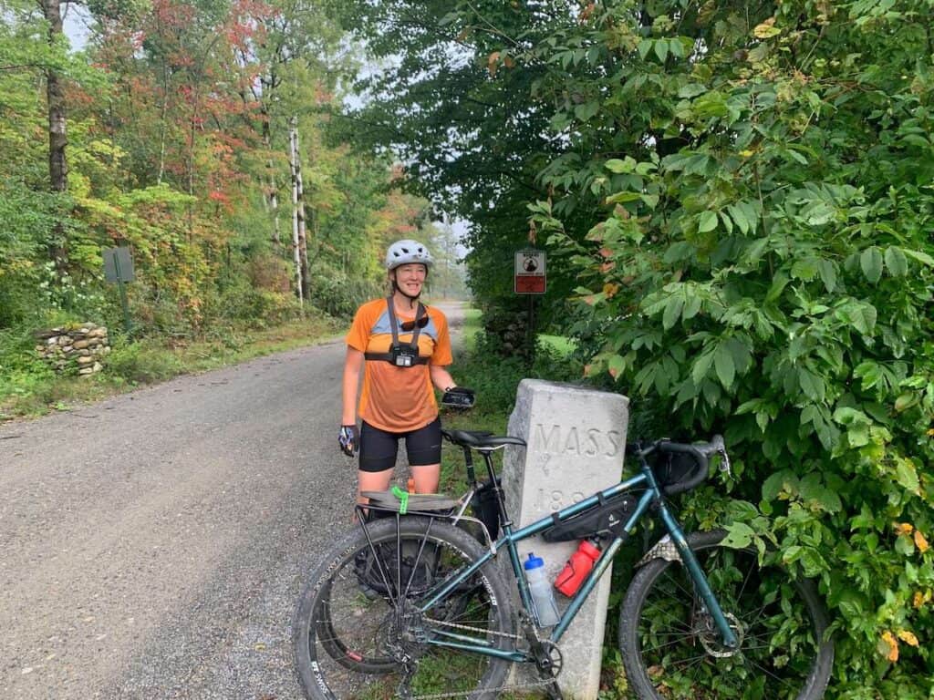
Both ends of the route are very remote: there’s not much going on in Caanan in the north and the VT/Mass border in the south is literally just a stone pillar in between two private properties.
Here are some options for transportation to or from Caanan and Williamstown.
>> To/From Caanan
- Have a nice friend drop you off (this is what we did). Caanan is right on the Canadian border and quite far from any big town or city, so it will probably be a several-hour drive round-trip.
- Leave a car in the Park and Ride lot. It’s safe to leave a car for multiple days here.
- Per Bikepacking.com, contact David Ackerson for a potential shuttle service (phone: 413-652-9573 or email [email protected]).
>> To/From Williamstown
The route actually ends at the VT/Mass border, but there is literally nothing there except for a stone pillar between two private properties marking the state line.
Williamstown is the closest town from the border and it’s a relatively easy 3-mile pedal to get there.
Here are your options for transportation to/from Williamstown:
- Have someone drop you off or pick you up. Easiest option, obviously.
- Leave a car in this public parking lot.
- Rent a truck in Pittsfield (this is what we did). You can either take a taxi from Williamstown ($50) or ride the mostly flat 27 miles. Check what time the car rental place in Pittsfield closes, though. We had a Saturday pick-up and it closed at 12 noon so we needed to take a taxi to get there in time. This option really only works if you end in Williamstown.
- Ride to an Amtrak train station.
- Pittsfield, MA: 27 miles (limited schedule options though)
- Albany-Rensselaer Station, NY: 45 miles
- Brattleboro Station, VT: 52 miles
- Take a bus. Peter Pan Bus Lines has a stop in Williamstown, MA on their routes from Boston and New York. Bikes may be able to go in the storage areas underneath depending on how much space is available.
Flying in? It’s going to take a lot of planning, but you could fly into Montreal and out of Boston. There’s a bus that will take you from Montreal to Coaticook (2 hrs) and then it’s a 24-mile ride to Caanan.
To get to Boston, there is a train that goes from Pittsfield, MA to Boston (4 hrs). You will need to take a taxi or bus from the train station in Boston to the airport, though.
It’s doable, but will probably be a bit of a hassle flying with a bike and all your gear.
Choosing your accommodations (or campsites)
The VTXL can be done in three ways:
- Staying in hotels/B&Bs
- Camping
- A combo of both
My dad and I chose to do accommodations every night for a few reasons: I was having problems with my lower back, I was renting a bike and wasn’t sure how my bike bags would fit (I also didn’t want to trash it with ill-fitting equipment), my dad is 65, resupplies looked tricky, and heat and mosquitos were a concern.
As someone who really does love camping and bikepacking, I was VERY glad we didn’t this trip. Part of what I loved about the VTXL so much was the cool places we stayed at.
You can certainly do the VTXL as a camping bikepacking trip (you’ll need to plan your camp spots and food carefully, though) or you can also do a combo of both.
Here is our 6-night itinerary and you can read more about my trip in the “MY VTXL Adventure” section below.
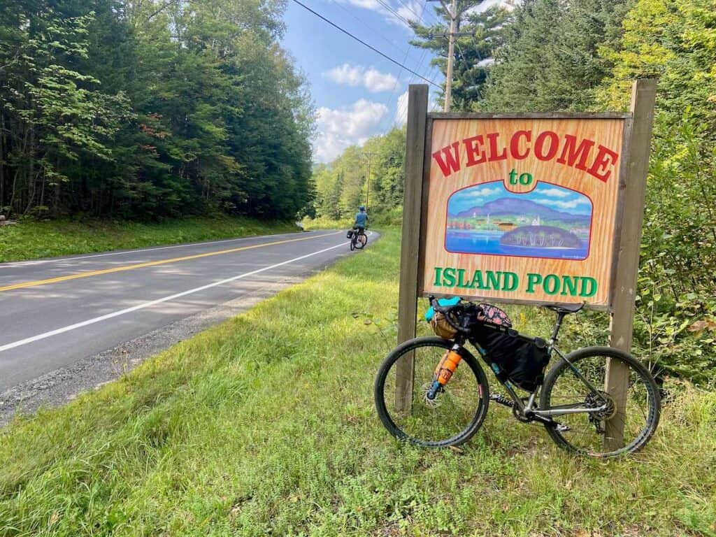
- Day 1: The Essex House in Island Pond (38 miles/3,200 ft)
- Day 2: We stayed at a friend’s house but I recommend Emergo Farm in Danville (47 miles/4,800 ft)
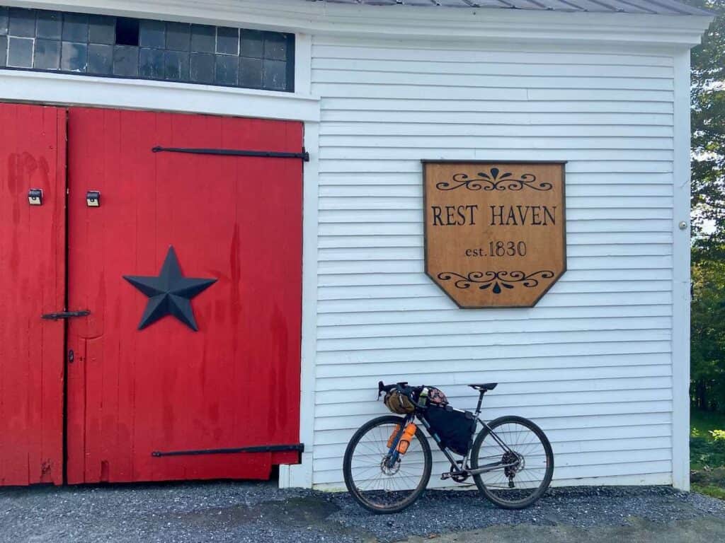
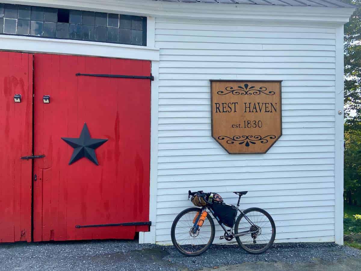
- Day 3: Rest Haven in West Topsham (36 miles/4,300 ft)
- Day 4: The Vesper in Woodstock (61 miles/7,050 ft)
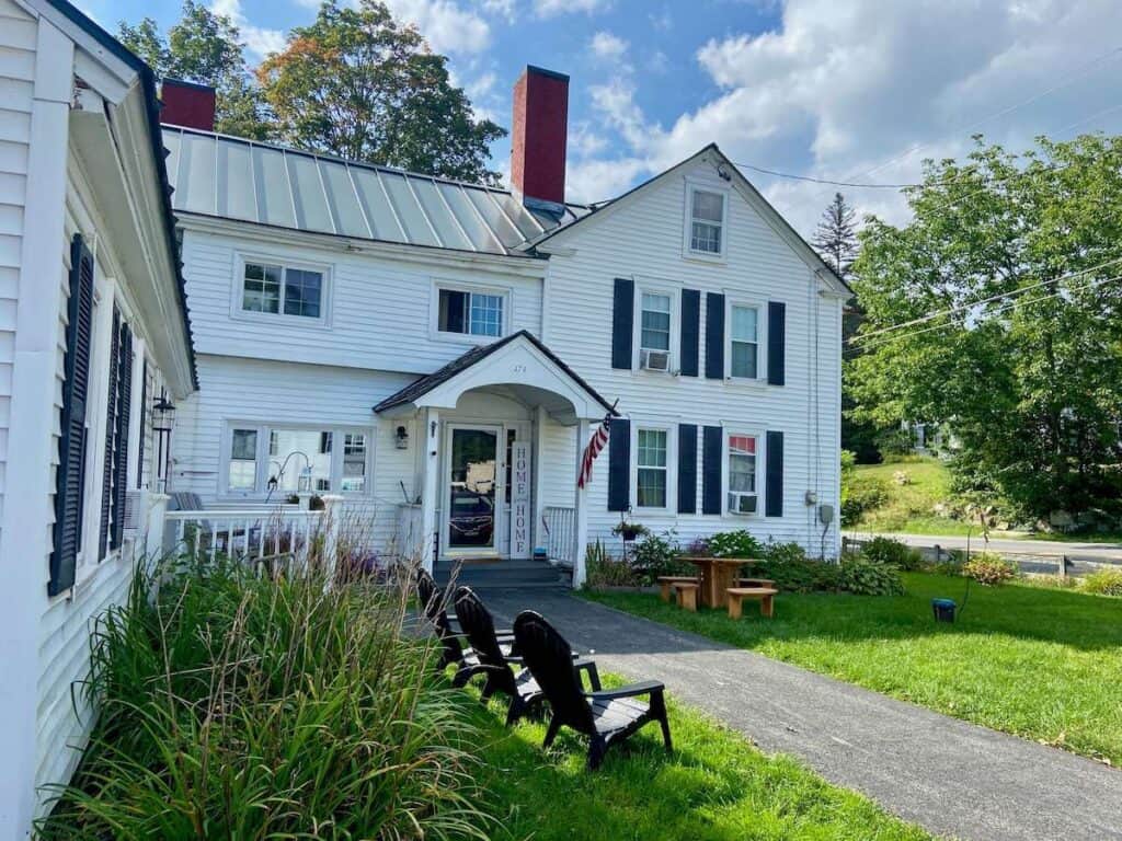
- Day 5: Rowell’s Inn in Simonsville (47 miles/5,400 ft) – Highly recommend but plan to stay there Thursday, Friday, or Saturday when the restaurant is open.
- Day 6: Paradise Inn in Bennington (63 miles/5,500 ft)
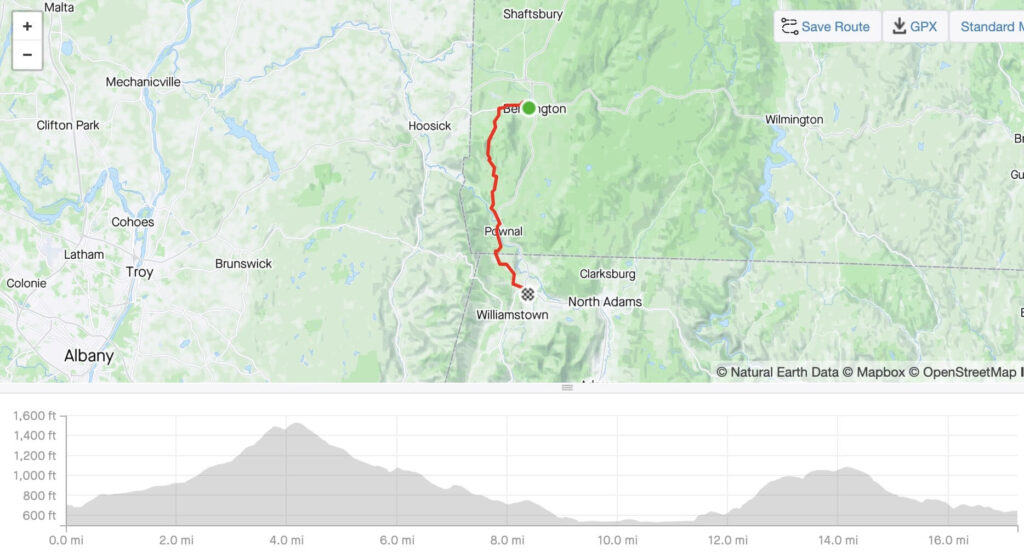
- Day 7: Ride to Williamston (17 miles/1,800 ft)
This definitely wasn’t the budget way to go, but I really enjoyed how our trip went and I don’t think I’d change anything!
Booking Accommodations
Here are some resources to help you plan where you’re going to stay on the VTXL
- HipCamp – There are a number of great HipCamps along the route. Some are campsites and some are rentals. Use the code BECKYT315233 to get $10 off your first booking.
- Booking.com – Many hotels are listed on booking.com
- VRBO – There are some awesome and unique rentals along the VTXL.
- The Dyrt – A good site for finding campgrounds.
What bike to take
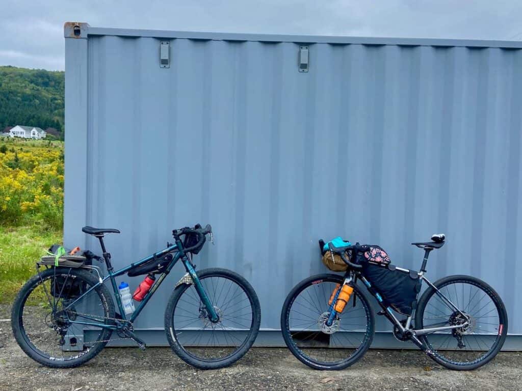
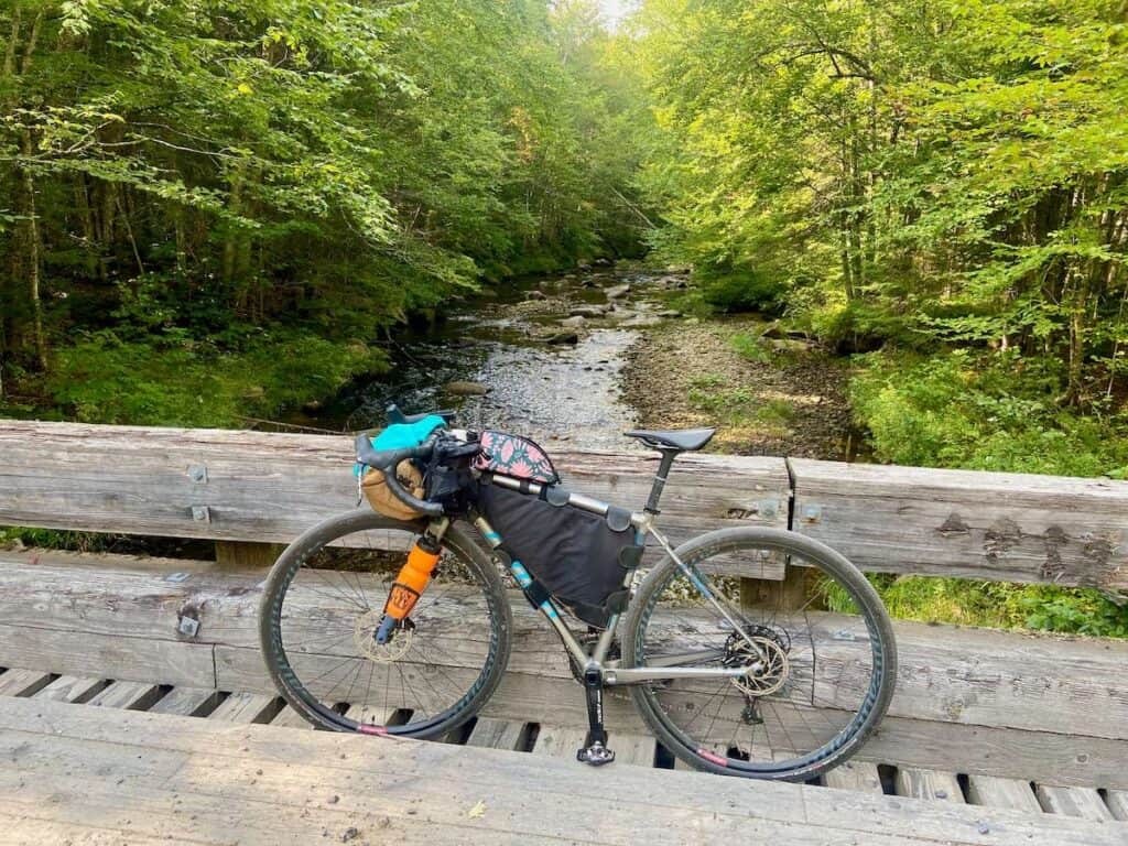
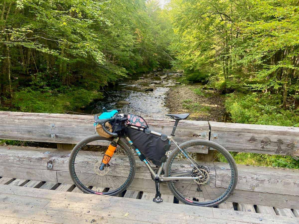
The VTXL is definitely a gravel ride, so a gravel bike with wide tires is ideal. I rented a bike (shout out to Mountain Ops in Stowe!) and while it worked, here are a few things I wish I had known before heading out:
What to pack
This will really depend on how you decide to do the VTXL. If you’ll be camping, you’ll need all your bikepacking gear, but if you’re staying in accommodations, you can get away with packing pretty light.
Here’s what I brought on my trip:
Food
The VTXL is not overly remote and you’ll really just need to carry snacks for the day. Stores and restaurants are relatively frequent.
However, if you are camping, you will need to plan your meals and resupplies since most of the campgrounds are not near any stores. One of the reasons I liked staying in accommodations each night was because I didn’t have to worry about finding dinner or breakfast.
If you camp, be sure to plan out your food strategy and maybe bring an extra dehydrated meal or two.
Water
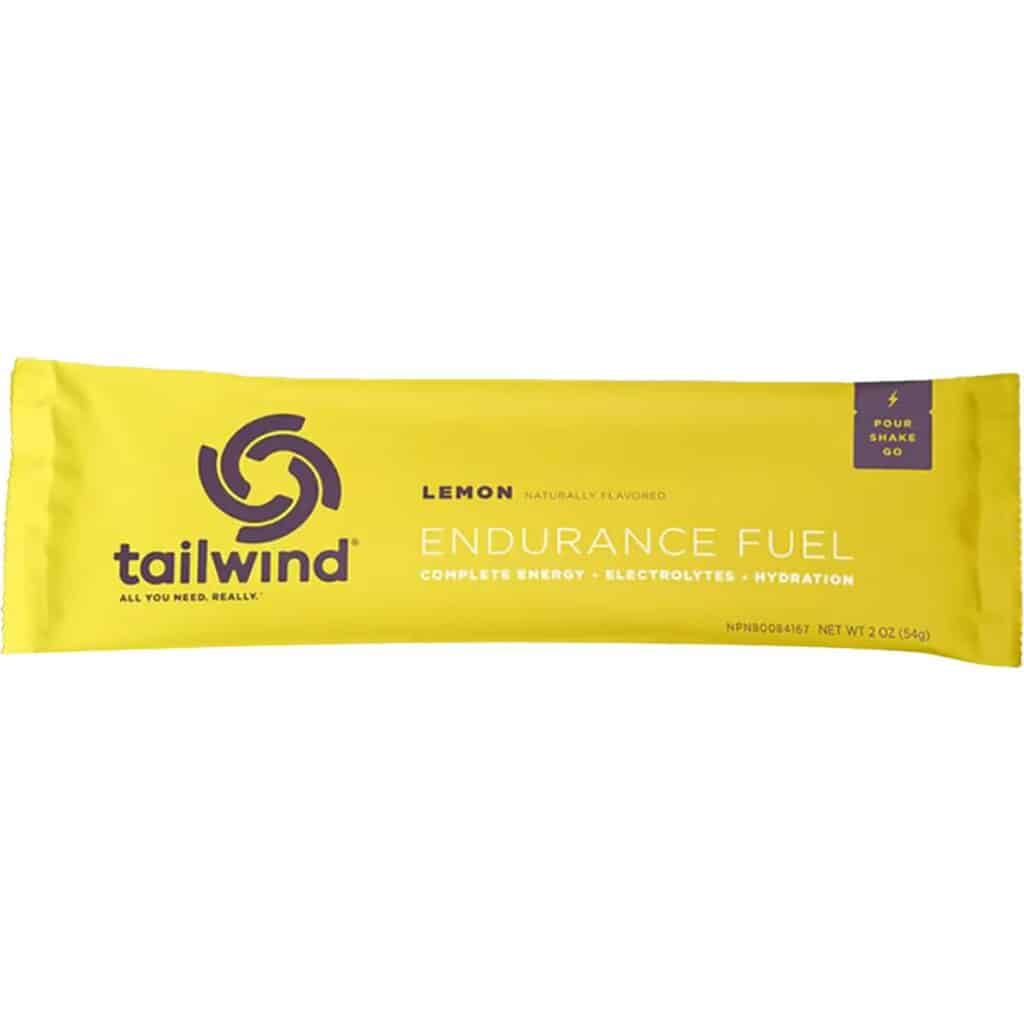
There is a lot of water along this route, both in streams/rivers and faucets. I carried two 16 oz water bottles and one 12 oz water bottle for Tailwind.
I felt like that was enough, however, I really wished I had a small water filter instead of relying on stores and the kindness of strangers.
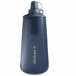
LifeStraw Peak Squeeze
I wish I’d brought a little water filter on my trip because there are some long stretches without easy access to water. This LifeStraw Peak Squeeze is small, lightweight, and super easy to use.
When to go
The best time to bike the VTXL is June and September – October. You can plan a trip during the summer, but temps will be hot and the humidity can be a real challenge, especially if you plan on camping.
We did the VTXL the second week of September and had great weather. It was before the foliage started to turn, so we didn’t run into any leaf-peepers (peak season is mid-October) but we did get glimpses of changing fall colors.

Route navigation
You will definitely need some sort of GPS device to help you navigate the VTXL. There are a lot of twists and turns and remote roads and without a map, you will most definitely get off course.
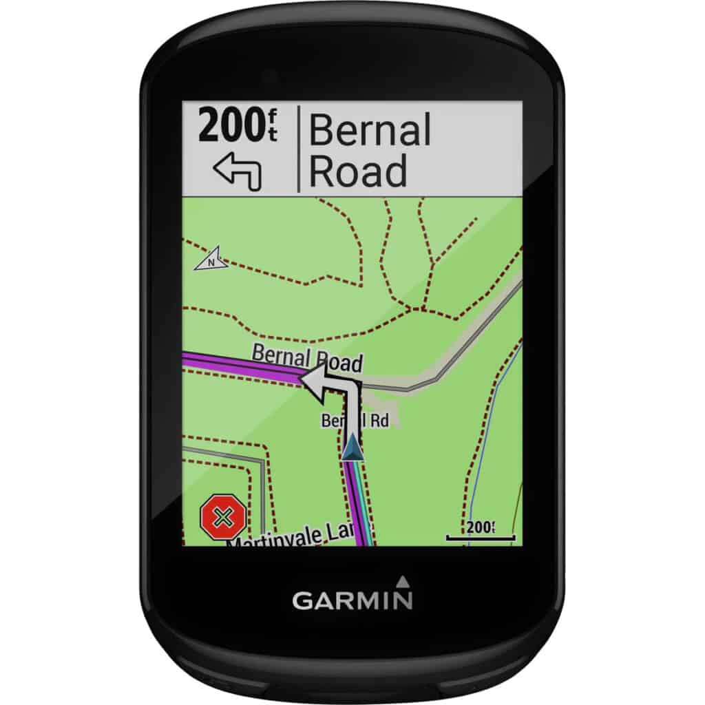
I used my Garmin Edge 830 bike computer, which I take on all my bikepacking and bike touring trips. It’s easy to use, the battery lasts a long time (although I was able to charge it every night), and you can sync it with Ride With GPS (doublecheck to make sure the route/map is actually downloaded to your device).
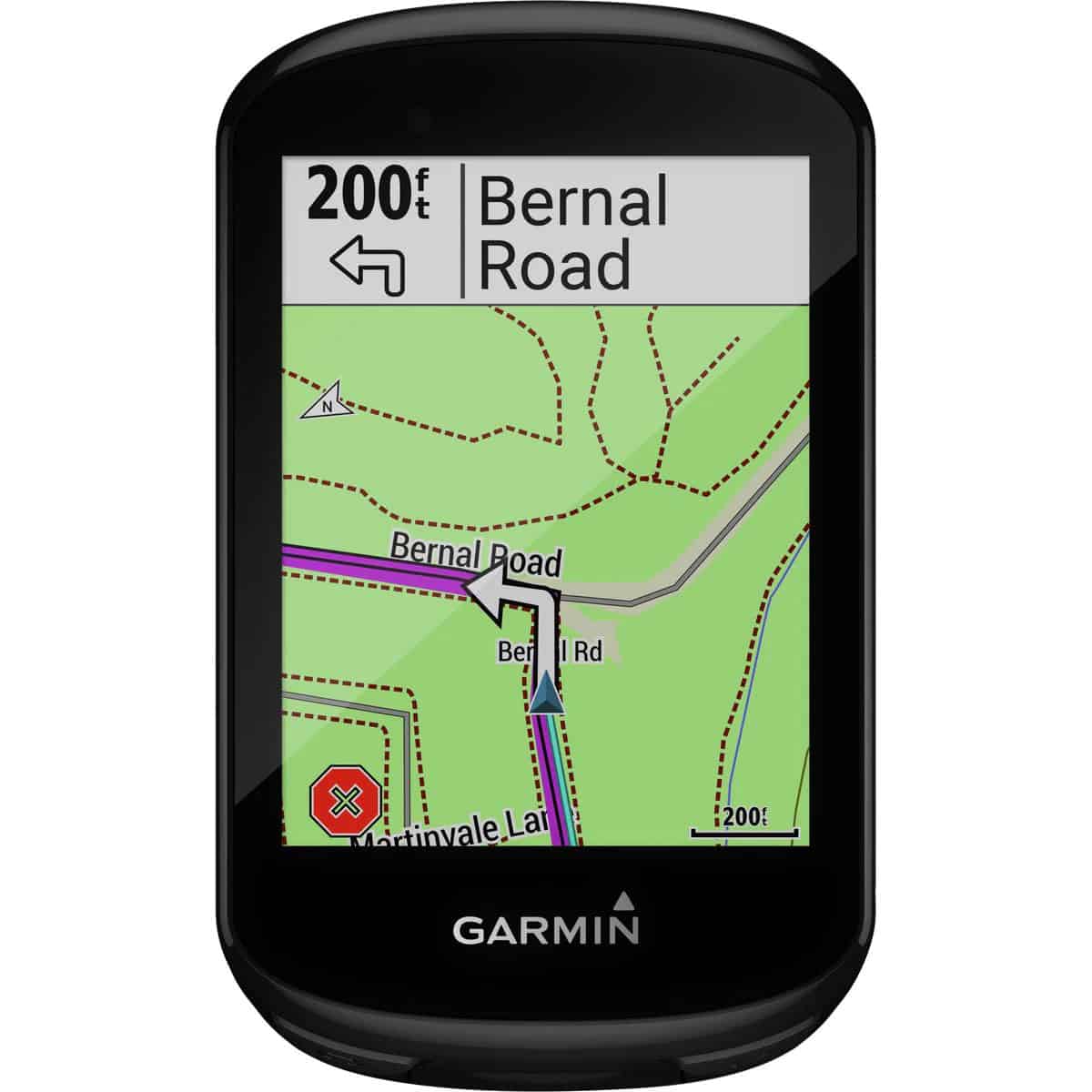
Garmin Edge Bike Computer
I used my Garmin Edge 830, which I take on all my bikepacking/touring trips. It’s easy to use, the battery lasts a long time (although I was able to charge it every night), and you can sync it with Ride With GPS (doublecheck to make sure the route/map is actually downloaded to your device).
My VTXL Adventure – Day by Day
Day 1: Caanan to Island Pond
Day 1 in detail
We were lucky in that my Dad’s partner offered to bring us to the start of the VTXL in Caanan, Vermont. Getting to the start is actually one of the trickiest parts if you don’t have a ride! It’s rural VT with not much going on… (see above for transportation info and tips)
The route starts right off with a big hill and me – not accustomed to my gravel rental bike – felt slightly panicked about my 1×11/40 tooth front chain ring gearing. My legs were complaining, but I soon got into a rhythm and as the day wore on, I started to actually enjoy the slow cadence of pushing a low-geared bike up a hill.
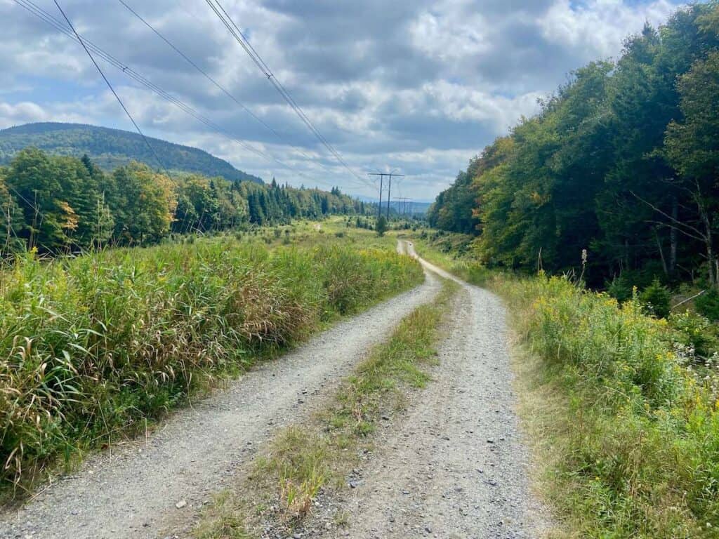
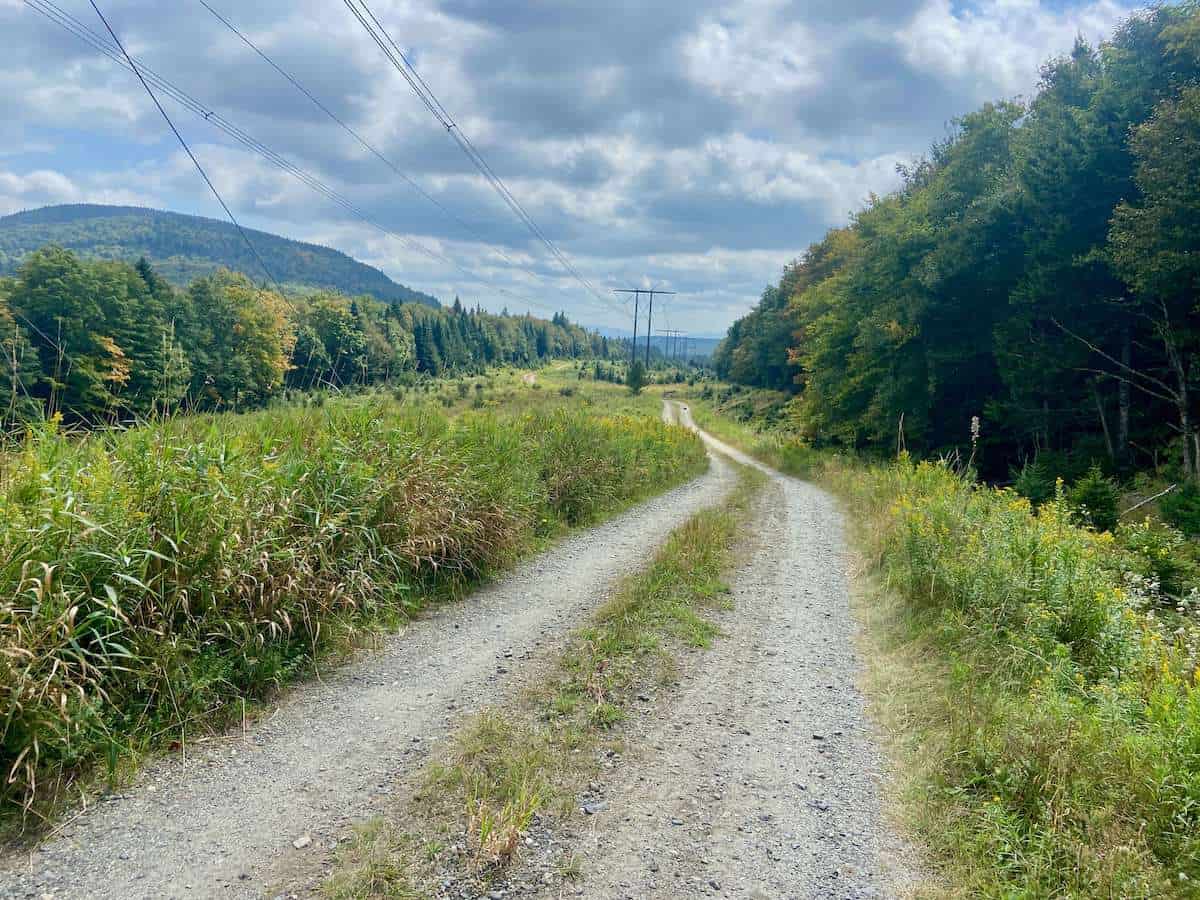
The route on day 1 travels through rural and remote parts of northern Vermont. The highlight of the day is entering Silvio O Conte National Wildlife Refuge (via a steep telephone line road). This area was set aside to preserve native plant, fish, and wildlife species in the Connecticut River Watershed.
While we didn’t see much wildlife, the roads through the Refuge are lined with dense forest and it felt like we were far from civilization.
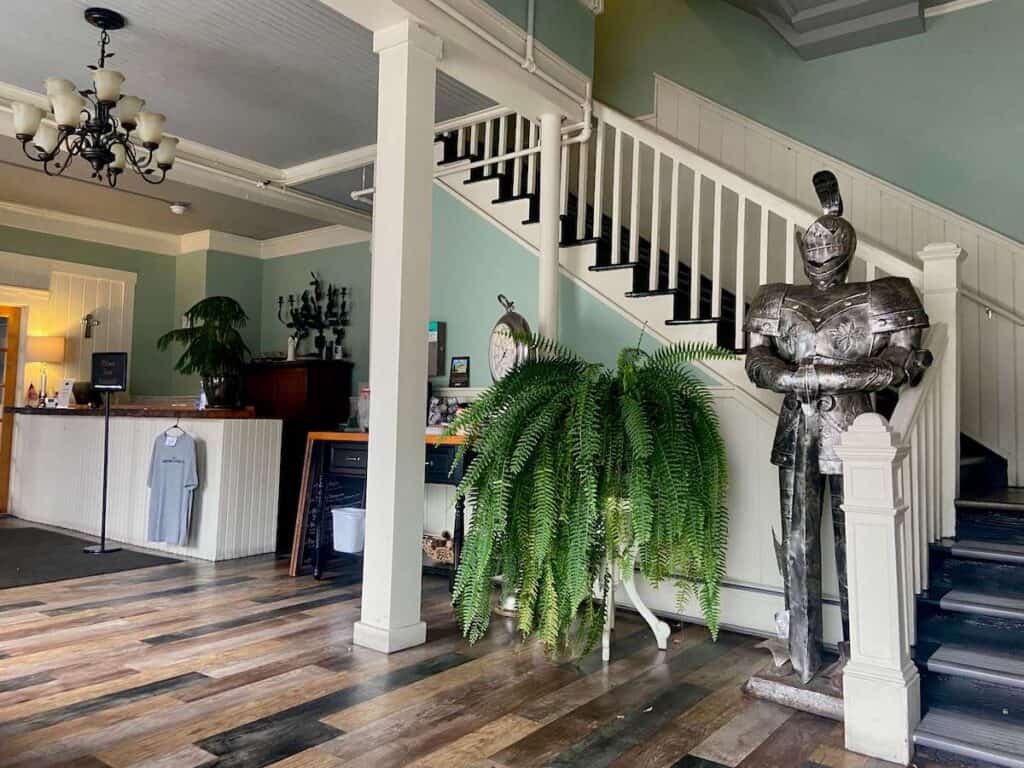
Our finish line for the day was The Essex House in Island Pond. We still had some daylight left as we rolled into town, so we decided to take a ‘victory lap’ around the lake. There’s a nice beach area on the southern edge to go swimming and relax before grabbing dinner at The Essex House.
Day 2: Island Pond to Danville
Day 2 in detail
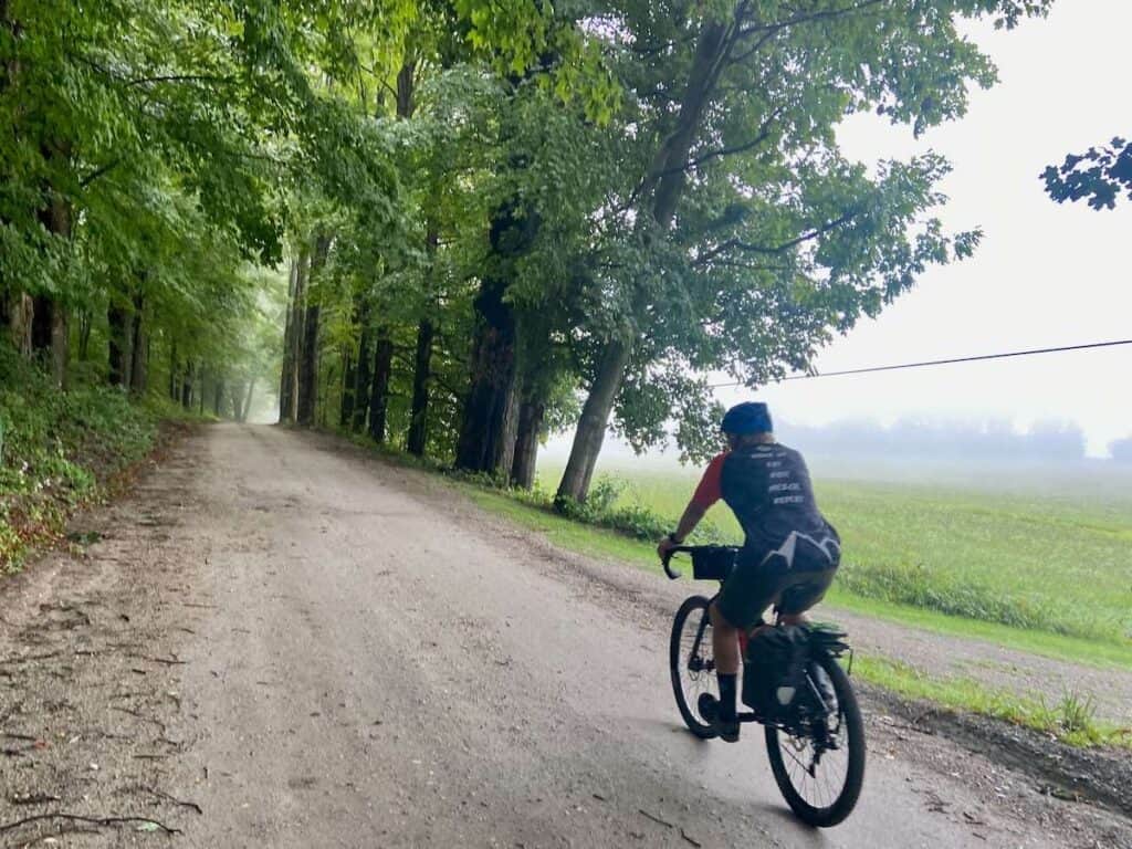
We woke up after a good night’s rest at the Essex House to a misty and moody morning. After breakfast at Hobo’s Cafe down the street, the route took us out of Island Pond on quiet roads lined with farmhouses and farmland. We soon turned onto our first Class 4 road of the trip.
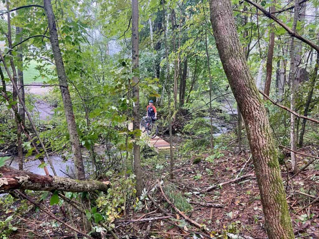
Class 4 roads in Vermont are not maintained, so they can – literally – be in any condition. After severe flooding that occurred earlier in the summer (of 2023) we were a little worried about how these roads would be or whether, even, they’d be passable.
These Class 4 roads ended up being some of my favorite riding of the trip. As a mountain biker, I love ‘trail’ riding and the rough, unmaintained roads felt a bit like singletrack. It definitely wasn’t a mountain biking experience on a rigid skinny tire bike, but I still loved it all the same!
The route continued on with a mix of gravel and paved road until we hit a short section of the Lamoille Valley Rail Trail that brought us into Danville where we spent the night at a friend’s house.
Day 3: Danville to Topsham
Day 3 in detail
Don’t let the short mileage of this day fool you – biking from Danville to Tophsam is actually a pretty big endeavor!
I’d already ridden portions of this stretch on the Peacham Fall Fondo ride I did the year before. It follows some of the prettiest roads of the whole route, so take your time and enjoy the scenery.
The hardest part of the day comes at the end – there’s a long, steep, rough, and rugged Class 4 road you need to tackle before rolling into Rest Haven in West Topsham for the night.
Day 4: Topsham to Woodstock
Day 4 in detail
Day 4 is by far the longest and hardest (but there are really not a lot of options for places to stay between Topsham and Woodstock).
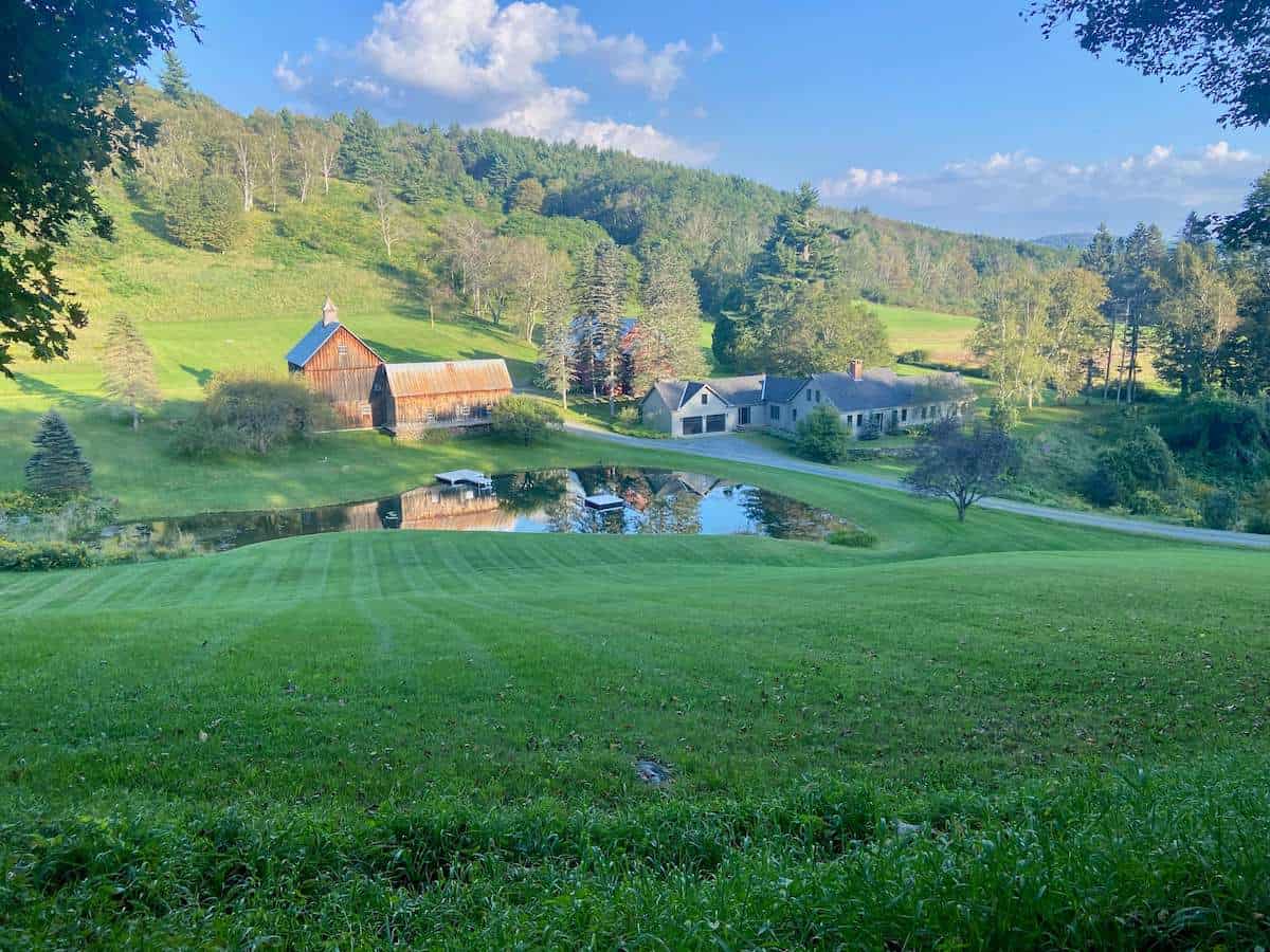
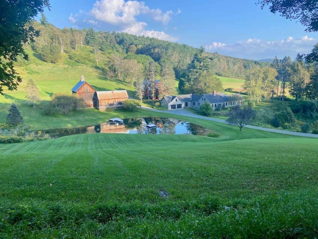
It was also one of my favorite days for idyllic pastoral landscapes and scenic backroads. The stretch on Cloudland Road into Woodstock is straight out of a postcard!
Note: Cloudland Road will be closed to tourists during peak foliage season due to bad behavior from ‘influencers’ over the years. I’m not sure if this means they will be turning away VTXLer’s…
Woodstock is a bustling tourist town with tourist prices. Honestly, I would have preferred to skip it, but like I said above, there really aren’t many options for places to stay.
A slightly more budget-friendly accommodation is Wise Pines which caters to thru-hikers, but is right on the VTXL route (you will need to pick up dinner before heading there, though).
Alternatively, you could pedal 5 miles to Quechee and camp at Quechee State Park.
Day 5: Woodstock to Andover
Day 5 in detail
My legs were definitely feeling the miles and climbing by day 5 (especially with a 40t front chain ring…).
We got off to a slow start but warmed up quickly with a few Vermont hills.
This day was filled with more quiet country gravel roads, scenic farmscapes, some Class 4 roads (Queen Victoria Road was a highlight!), and cold swimming holes.
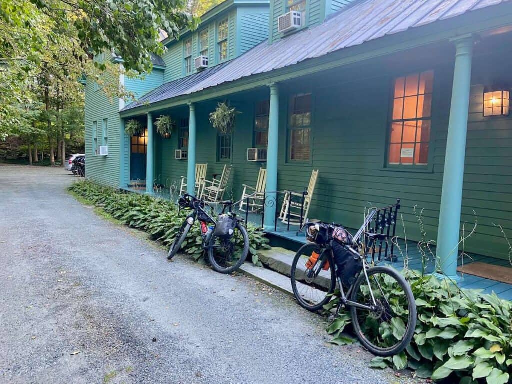
The best part of the day, though, was rolling into The Rowell’s Inn. This old and quirky Bed & Breakfast was my favorite of the trip. The staff was super friendly and the rooms were unique and fun.
If you stay at the Rowell’s Inn, I highly recommend planning your trip so you arrive on a Thursday, Friday, or Saturday when the restaurant is open. The burgers are delicious.
Day 6: Andover to Bennington
Day 6 in detail
Our last full day! After filling up on waffles at the Rowell’s Inn, we set off once again. Every day of the VTXL is unique, but this day is super unique.
The riding was pretty easy and mellow for the first few miles, following quiet roads and ‘trending’ downhill. The trail veers off into Lowell State Park, which is beautiful and a great place to take a swim.
There’s also a beautiful stretch on the West River Trail outside of Londonderry that follows the river on a non-motorized dirt track (parts of this got really washed out in the flood, including the Winhall Brook Campground).
Then it’s time to climb…
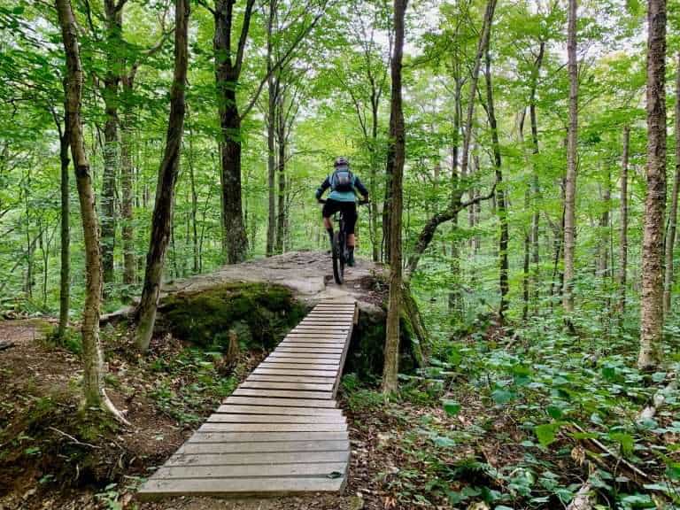
This section of the VTXL goes up and over Stratton Mountain in Green Mountain National Forest, but instead of gravel roads or even Class 4 roads, it’s on singletrack.
For riders who aren’t mountain bikers, this section will probably be challenging. But it was a highlight for me and I loved the remoteness and technical terrain, even on skinny tires.
The reward for the tough climb is a loooong descent down the other side into Arlington where you can reward yourself with a cup of gelato at the Chocolatorium.
We pushed on past Arlington and spent the night in Bennington at the Paradise Inn (it was fine, but definitely not Paradise). For good pizza, head to Farm Road Brewing down the street.
Day 7: Bennington to Williamstown
Day 7 in detail
With just about 12 miles to the border, we woke up ready for the home stretch. To be honest, this final section isn’t all that exciting or scenic (although an absent bridge and the destruction left by a severe thunderstorm a few nights ago made it quite a bit more interesting).
Then we arrived at the ‘border’, which is easily missed since it’s marked with just a small stone pillar between two private properties.
But we did it!
My dad and I pedaled over 320 miles and 32,000 ft from the Canadian border to the Massachusetts state line.
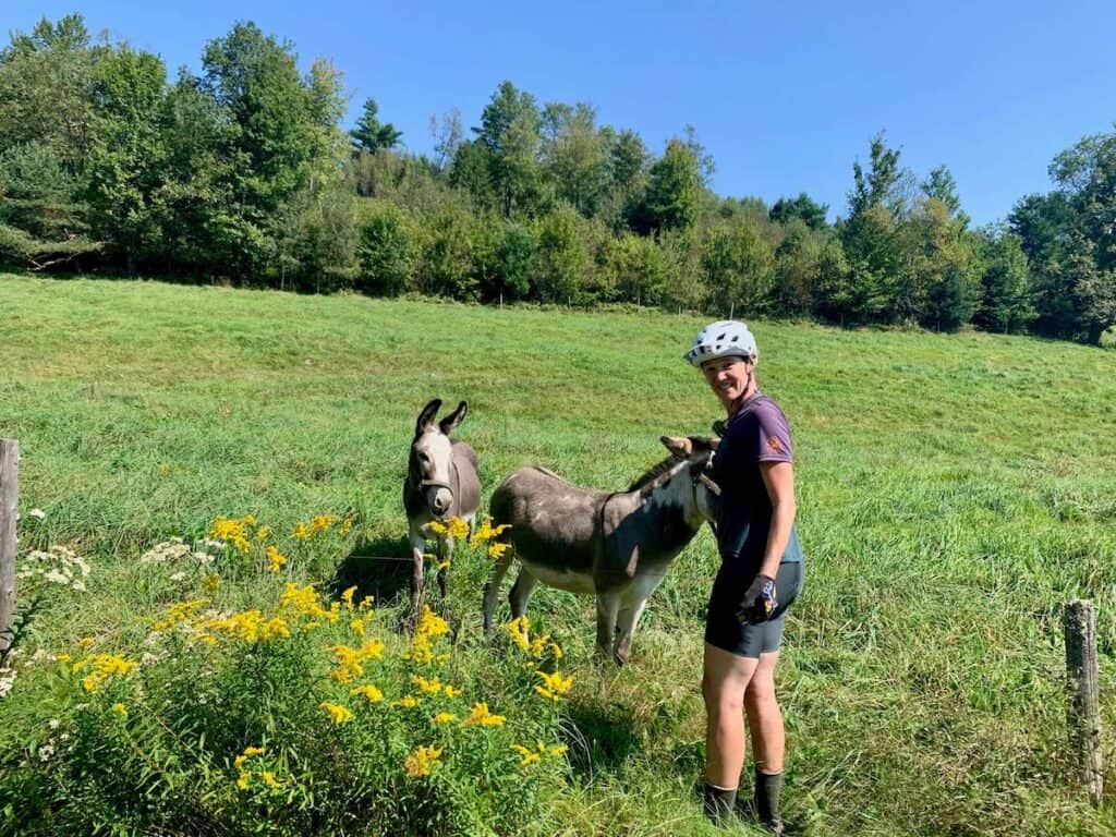
The trip honestly flew by. The days were filled with stunning landscapes, quaint Vermont stops, roads no tourist will ever drive, and glimpses into the real Green Mountain State.
Would I do it again? Absolutely 🙂
We finished our trip with a quick 4-mile pedal to Williamstown, MA where we relaxed at Tunnel City Coffee for a bit before my dad took a taxi to Pittsfield to pick up a rental truck that would get us home.
Final Thoughts
I really enjoyed my week on the VTXL with my dad. It’s a beautiful route through remote and off-the-beaten-track Vermont (except maybe Woodstock…) with amazing landscapes and quintessential VT experiences.
As someone who grew up in the Green Mountain State, it made me appreciate it even more!
If you’re looking for a memorable trip and aren’t scared away by the big elevation days, I highly recommend adding it to your bike-it list.
Happy trails
RELATED POSTS
Looking for more Vermont bike adventures? Check out these blog posts for inspiration:
What questions do you still have about biking the VTXL? Is this a trip you’d like to do? Leave a comment below!





















I love hearing from you and appreciate your comments! However, if you leave a rude, unconstructive, or spammy comment, it will be deleted. It’s cool to be kind. Have an awesome day!