
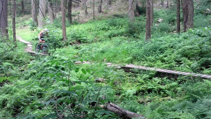
52 IMBA Epic “Epic” Mountain Bike Trails Around the World
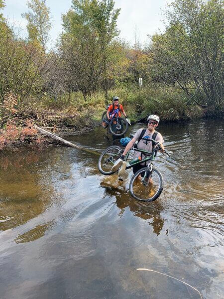
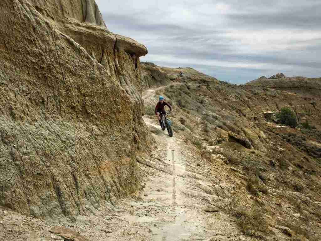
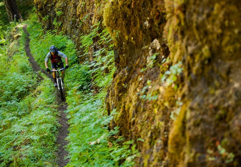
If you’ve never ridden or experienced an IMBA Epic mountain bike ride, I highly recommend adding one to your bike-it list ASAP. They’re what many mountain bikers live for and they cover some of the best and most epic terrain around the world.
From the United States to New Zealand, there are over routes and trails with IMBA Epic status. I’ve ridden a small handful of them, but I have plenty more to check off and new ones are added each year.
So if you’re looking for some epic riding and world-class trails, read through this list and add an adventure to your calendar!
What are IMBA Epics?
IMBA Epics are a curated list of incredible singletrack rides throughout the world that are designated by IMBA – the International Mountain Bike Association.
Each trail is crowd-sourced, meaning the routes are nominated by locals and riders each year.
There are currently 53 IMBA Epics spanning 8 countries: the United States, Canada, Australia, New Zealand, Wales, Finland, Switzerland, and Iceland.
A note about this list: As far as I can tell, the IMBA Epics list hasn’t been updated or modified since 2017. There are actually 53 of them, but I left the Mountain Hero in Yukon Territory off because there is very little information on it. I hope IMBA resumes its Epics search/induction because it’s fun way to explore the world on two wheels!
IMBA Epic Criteria
In order to be crowned IMBA Epic status, trails and routes must be:
- At least 20 miles in length
- More than 80% singletrack
- Technically and physically challenging
- “Beautiful to behold and worthy of celebration”
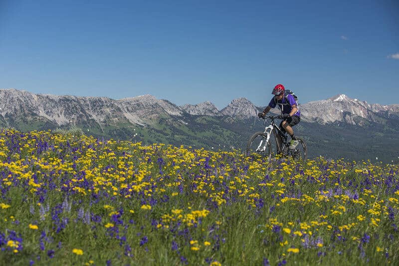
The IMBA EPICS designation denotes a true backcountry riding experience. IMBA EPICS are what many mountain bikers live for and make travel plans around: immersive rides that are technically and physically challenging, beautiful to behold and worthy of celebration. EPICS are demanding, majority singletrack trail experiences in a natural setting and at least 20 miles in length. The list is crowd-sourced with nominations accepted on an annual basis.
IMBA (International mountain bike association)
5 Tips for riding the IMBA Epics
IMBA Epics are often remote, challenging, long, and in difficult terrain. Be prepared for your ride with these tips.
1. Always have some form of navigational tool
Most of these IMBA Epic rides are very backcountry and remote, so it’s important to have some sort of navigational tool like the TrailForks or MTB Project apps (or both!) downloaded onto your phone.
If the ride is extra tricky to navigate, see if you can pick up a paper map from one of the local bike shops or outdoor outfitters.
If you plan on bikepacking for several days, I recommend using a bike computer to navigate.
I have the Garmin 830 Edge and love it. It’s pretty easy to use (after spending some time learning how to use it) and the battery lasts several days.
Read next: Garmin Edge 830 Bike Computer full review.
2. Tell someone where you’re going
Always tell someone what trail/route you’re going to ride and when you expect to be finished.
Many of these routes don’t have good cell service, so if you get into trouble, you may not receive help quickly if no one knows where you are.
3. Pack the essentials
Pack for the ‘what ifs’. Of course, it’s not practical to carry a full derailleur or even a spare tire with you, but you can pack a spare derailleur hanger and half a dozen tire plugs.
I recommend always carrying these mountain bike pack essentials with you on every ride.
4. Carry at least 3L of water (or more)
Have a hydration pack that can carry a 3L water reservoir. If you think you’ll need more water, you can take a few extra water bottles in cages attached to the bike frame or front fork lets.
If you know there will be water, a water filter will cut down on weight.
5. Book shuttles in advance
If a ride is popular – like the Tahoe Rim & Flume Trail – make sure you book your shuttles ahead of time or else you might need a plan B ride.
Alaska
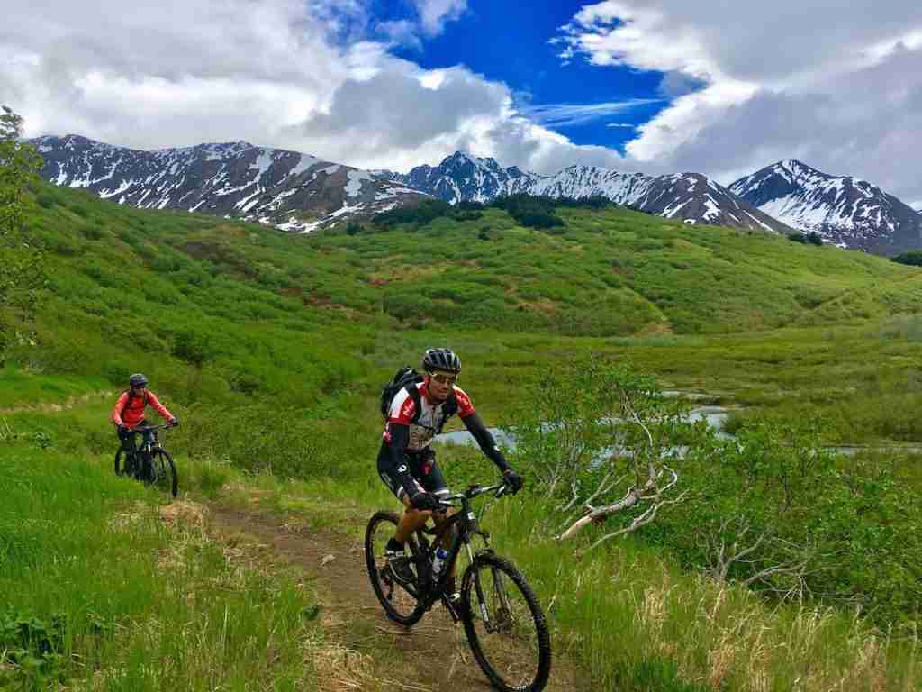
1. Johnson Pass
- Closest town/city: Whittier, AK
- Mileage: 23.7 miles
- % Singletrack: 100%
- Route type: One-way
- Elevation gain & loss: +2,094 ft / -2,247 ft
- Difficulty: Intermediate
- Year inducted: 2017
- Map/GPS: TrailForks, MTB Project
Highlights
High alpine lakes and epic snowcapped mountain views!
Route Notes
Arkansas
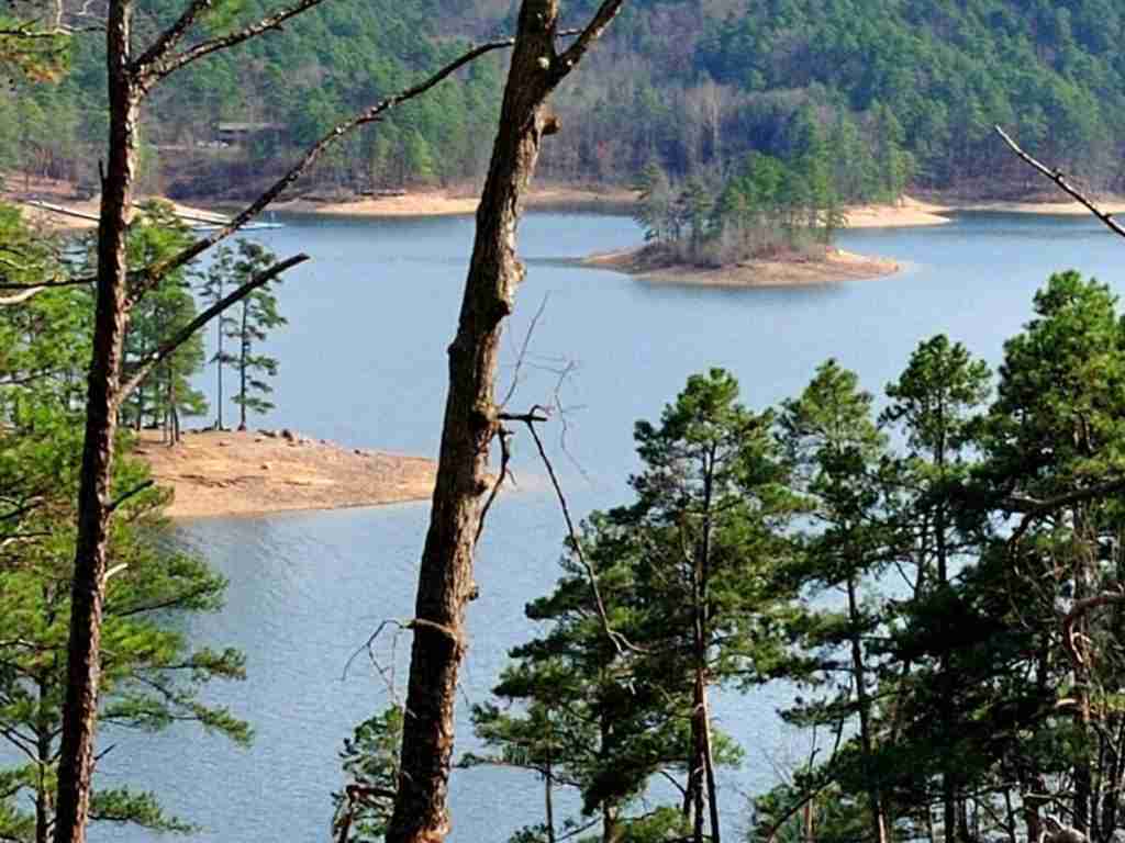
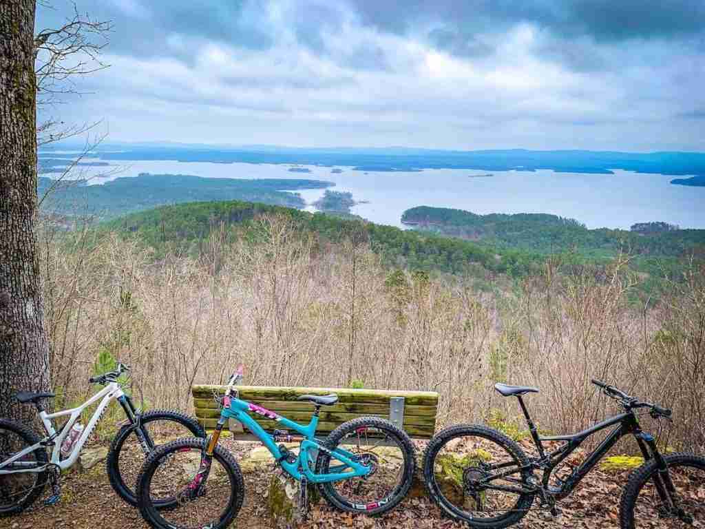
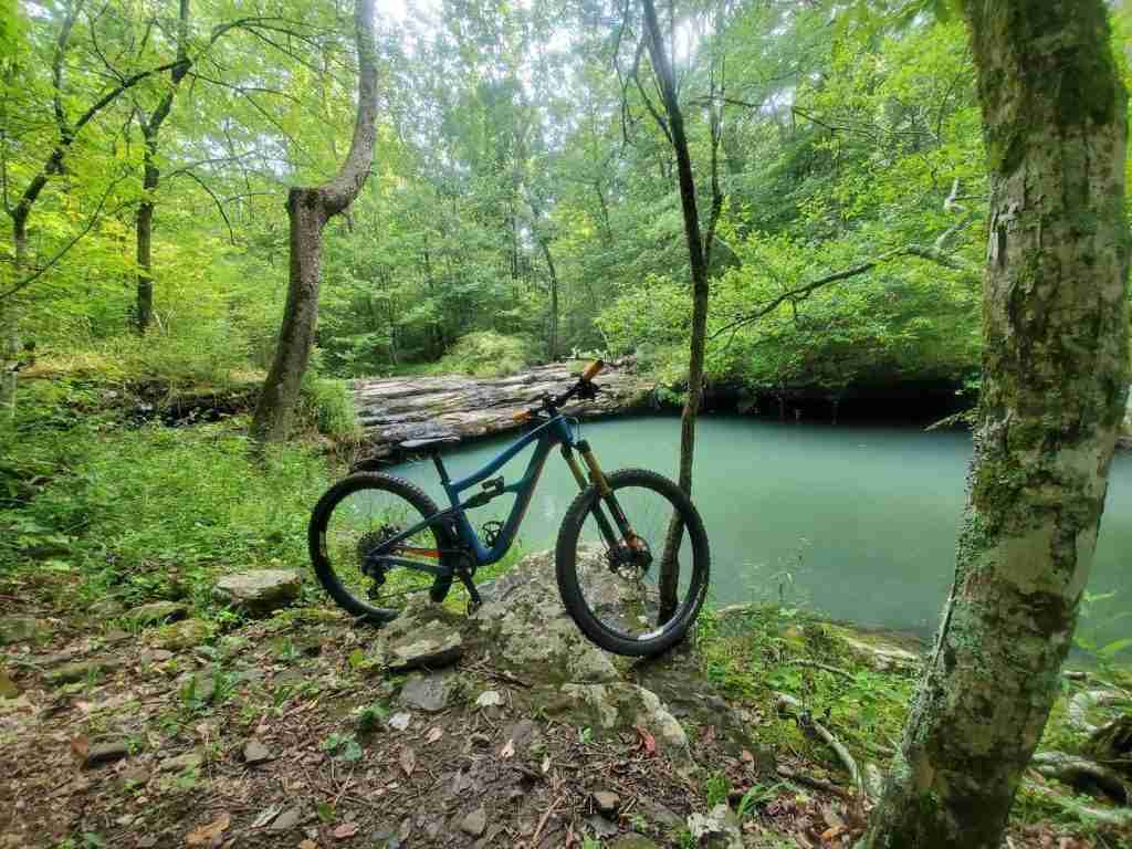
2. Lake Ouachita Vista Trail
- Closest town/city: Mount Ida, AR or Hot Springs, AR
- Mileage: 38.3 miles
- % Singletrack: 100%
- Route type: One-way
- Elevation gain & loss: +3,683 ft / -3,785 ft
- Difficulty: Intermedaite
- Year inducted: Not specified
- Map/GPS: TrailForks, MTB Project
Highlights
Stunning lake views, tough climbs with rewarding vistas.
Route Notes
3. Ouachita National Recreation Trail
- Closest town/city: Mena, AR
- Mileage: 108 miles
- % Singletrack: 100%
- Route type: One-way
- Elevation gain & loss: +13,381 ft / -14,826 ft
- Difficulty: Advanced
- Year inducted: 2015
- Map/GPS: MTB Project
Highlights
Rugged and remote ridgeline trail with great views and several fun descents.
Route Notes
4. Upper Buffalo Headwaters
- Closest town/city: Pettigrew, AR
- Mileage: 20 miles
- % Singletrack: 90%
- Route type: Loop
- Elevation gain & loss: +2,202 ft / -2,202 ft
- Difficulty: Advanced
- Year inducted: 2014
- Map/GPS: TrailForks, MTB Project
Highlights
Endless waterfalls and remote backcountry experience.
Route Notes
5. Womble Trail
- Closest town/city: Mount Ida, AR
- Mileage: 37 miles
- % Singletrack: 95%
- Route type: One-way
- Elevation gain & loss: +4,093 ft / -3,748 ft
- Difficulty: Intermediate/Advanced
- Year inducted: 2005
- Map/GPS: TrailForks, MTB Project
Highlights
Cliff-side trails with great overlooks onto the Ouachita River.
Route Notes
6. Syllamo
- Closest town/city: Mount Olive, AR
- Mileage: 50 miles
- % Singletrack: 90%
- Route type: Loop
- Elevation gain & loss: +4,557 ft / -4,557 ft
- Difficulty: Intermediate/Advanced
- Year inducted: 2005
- Map/GPS: TrailForks, MTB Project
Highlights
Diverse and challenging trails with flowy singletrack, exposed ledges, and awesome views.
Route Notes
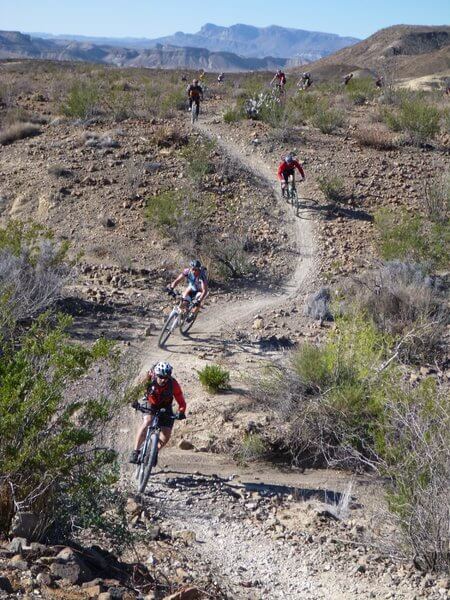
Arizona
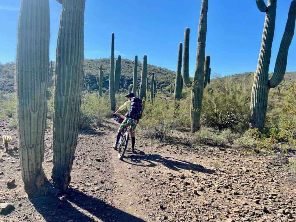
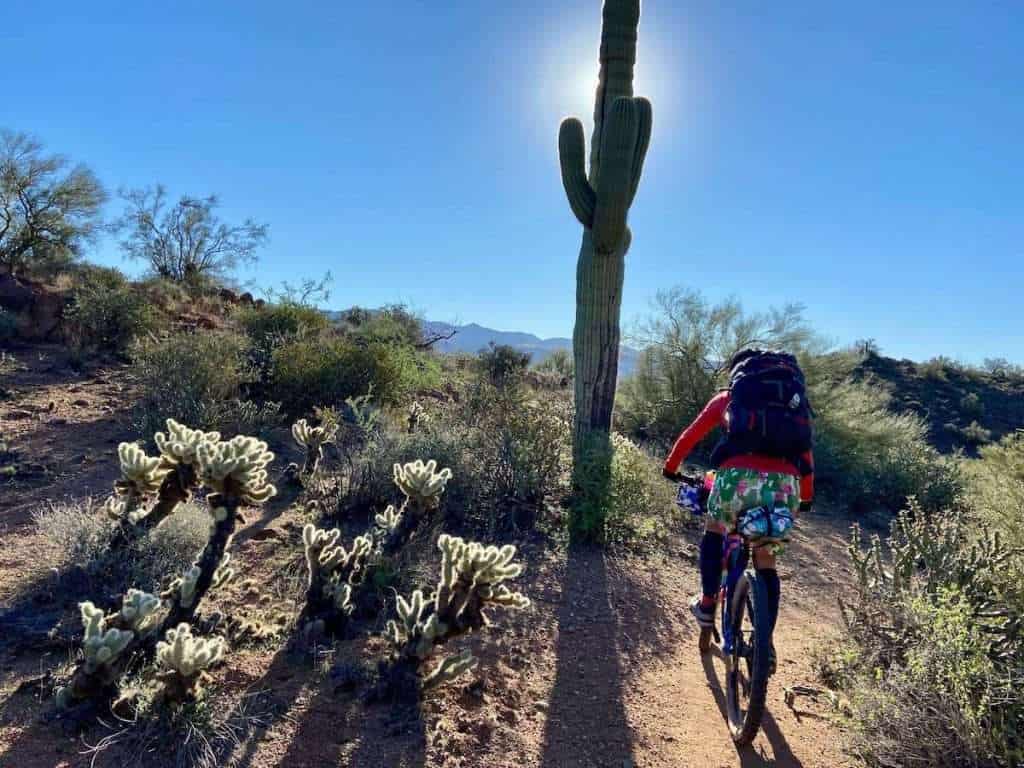
7. The Black Canyon Trail
- Closest town/city: Phoenix, AZ or Prescott, AZ
- Mileage: 77.5 miles
- % Singletrack: 95%
- Route type: One-way
- Elevation gain & loss: +3,897 ft / -6,640 ft
- Difficulty: Advanced
- Year inducted: 2015
- Map/GPS: TrailForks, MTB Project
Highlights
A remote, backcountry, desert ride with beautiful scenery and saguaro cacti.
Route Notes
Read next: I bikepacked the Black Canyon Trail in 3 days/2 nights and it was awesome. Use my BCT guide to help plan your trip!
California
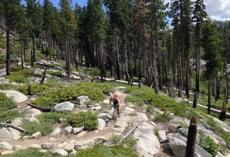
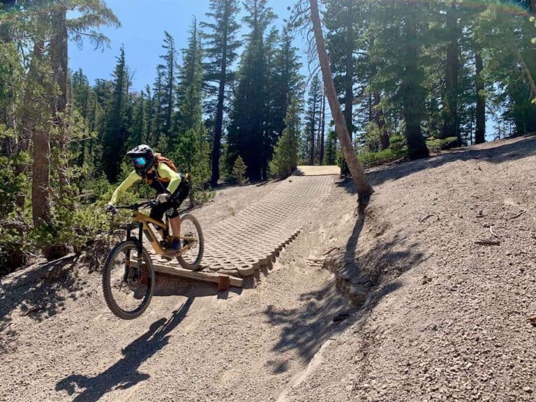
8. Armstrong to Strawberry
- Closest town/city: South Lake Tahoe, CA
- Mileage: 39 miles
- % Singletrack: 90%
- Route type: One-way
- Elevation gain & loss: +4,692 ft / -6,637 ft
- Difficulty: Advanced
- Year inducted: 2015
- Map/GPS: MTB Project
Highlights
Enjoy the best variety of Tahoe-area climbs and descents and view seasonal wildflowers, waterfalls, and big vistas.
Route Notes
9. Big Boulder
- Closest town/city: Downieville, CA
- Mileage: 22 miles
- % Singletrack: 80%
- Route type: One-way
- Elevation gain & loss: +1,498 ft / -5,662 ft
- Difficulty: Advanced
- Year inducted: Not specified
- Map/GPS: TrailForks, MTB Project
Highlights
Fast, flowy downhill through beautiful forests
Route Notes
Read next: Plan your trip to Downieville, California with my 3-Day Downieville Itinerary.
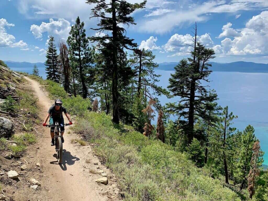
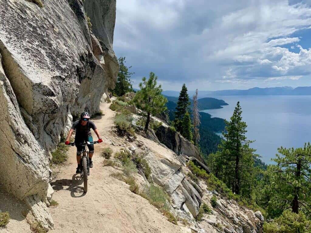
10. Tahoe Rim
- Closest town/city: Incline Village, NV
- Mileage: 28 miles
- % Singletrack: 80%
- Route type: One-way
- Elevation gain & loss: +1,455 ft / -3,861 ft
- Difficulty: Intermediate
- Year inducted: Not specified
- Map/GPS: TrailForks, MTB Project
Highlights
Jaw-dropping views along the Flume Trail and seasonal wildflowers
Route Notes
Read next: The Tahoe Rim & Flume Trail is a bucket list ride. Learn everything you need to know in this blog post.
11. Cannell Trail
- Closest town/city: Kernville, CA
- Mileage: 25.5 miles
- % Singletrack: 90%
- Route type: One-way
- Elevation gain & loss: +1,718 ft / -8,030 ft
- Difficulty: Advanced
- Year inducted: 2016
- Map/GPS: TrailForks, MTB Project
Highlights
The Cannell Trail starts above 9,200 feet and passes through four different climate zones. It ends with an 8-mile descent known as the ‘Plunge’.
Route Notes
Colorado
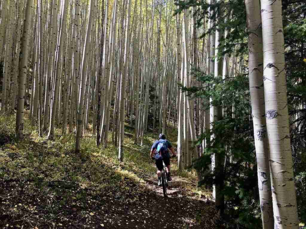
12. Aspen/Snowmass Mega Loop
- Closest town/city: Aspen, CO
- Mileage: 60 miles
- % Singletrack: 95%
- Route type: Loop
- Elevation gain & loss: +8,199 ft / -8,199 ft
- Difficulty: Advanced
- Year inducted: 2017
- Map/GPS: TrailForks, MTB Project
Highlights
Beautiful aspen groves and big mountain views. It’s especially stunning if you can ride it in the fall.
Route Notes
13. Buffalo Creek Big Loop
- Closest town/city: Pine Grove, CO
- Mileage: 24.2 miles
- % Singletrack: 85%
- Route type: Loop
- Elevation gain & loss: +2,590 ft / -2,590 ft
- Difficulty: Intermediate
- Year inducted: 2004
- Map/GPS: TrailForks, MTB Project
Highlights
Super fun, fast, and flowy descent down Charlie’s Cutoff/Sandy Wash and nice views of the surrounding mountain ranges.
Route Notes
Read next: Plan your ride on the Buffalo Creek Loop in Colorado
14. Colorado Trail, Southern Sections
- Closest town/city: Denver to Durango
- Mileage: 72 miles
- % Singletrack: 100%
- Route type: One-way
- Elevation gain & loss: +10,549 ft / -14,443 ft
- Difficulty: Advanced
- Year inducted: Not specified
- Map/GPS: TrailForks, MTB Project (this is the full Colorado Trail – the Southern IMBA Epic route is only Sections 25-28 near Durango)
Highlights
Beautiful high alpine experience
Route Notes
15. Monarch Crest
- Closest town/city: Salida, CO
- Mileage: 36.2 miles
- % Singletrack: 85%
- Route type: One-way
- Elevation gain & loss: +2,035 ft / -5,890 ft
- Difficulty: Advanced
- Year inducted: Not specified
- Map/GPS: TrailForks, MTB Project
Highlights
Stunning views and high-alpine ridge riding
Route Notes
Georgia
16. Bull and Jake Mountain
- Closest town/city: Dahlonega, GA
- Mileage: 25 miles
- % Singletrack: 85%
- Route type: Loop
- Elevation gain & loss: +2,859 ft / -2,859 ft
- Difficulty: Advanced
- Year inducted: Not specified
- Map/GPS: TrailForks, MTB Project
Highlights
Red clay Georgia singletrack, rocky terrain, take-off-your-shoes stream crossings, steep climbs, and rowdy descents.
Route Notes
Idaho
17. Galena Grinder
- Closest town/city: Galena, ID
- Mileage: 25.6 miles
- % Singletrack: 90%
- Route type: Loop
- Elevation gain & loss: +3,056 ft / -3,056 ft
- Difficulty: Advanced
- Year inducted: 2017
- Map/GPS: TrailForks, MTB Project
Highlights
Backcountry feel with food, entertainment, and hospitality at Galena Lodge.
Route Notes
Michigan
18. High Country Pathway
- Closest town/city: Wolverine, MI
- Mileage: 82 miles
- % Singletrack: 100%
- Route type: Loop
- Elevation gain & loss: +4,615 ft / -4,615 ft
- Difficulty: Advanced
- Year inducted: 2015
- Map/GPS: TrailForks, MTB Project
Highlights
Beautiful, remote Michigan woods riding with opportunities to see wildlife.
Route Notes
Montana
19. The Bangtail Divide
- Closest town/city: Bozeman, MT
- Mileage: 25 miles
- % Singletrack: 100%
- Route type: One-way
- Elevation gain & loss: +1,860 ft / -1,174 ft
- Difficulty: Intermediate/Advanced
- Year inducted: Not specified
- Map/GPS: TrailForks, MTB Project
Highlights
Ridgetop singletrack with epic views of surrounding mountain ranges.
Route Notes
North Carolina
20. Kerr Scott
- Closest town/city: Millers Creek, NC
- Mileage: 33 miles
- % Singletrack: 90%
- Route type: One-way
- Elevation gain & loss: +1,860 ft / -1,174 ft
- Difficulty: Intermediate
- Year inducted: 2011
- Map/GPS: MTB Project
Highlights
A rollercoaster ride of flowy, bermed singletrack through beautiful North Carolina forests.
Route Notes
21. Tsali Loops
- Closest town/city: Bryson City, NC
- Mileage: 25 miles
- % Singletrack: 95%
- Route type: Loop
- Elevation gain & loss: +1,707 ft / -1,707 ft
- Difficulty: Intermediate
- Year inducted: 2017
- Map/GPS: TrailForks, MTB Project
Highlights
Amazing singletrack and beautiful views of Fontana Lake and the surrounding Nantahala National Forest.
Route Notes
North Dakota
22. Maah Daah Hey
- Closest town/city: Medora, ND
- Mileage: 98 miles
- % Singletrack: 95%
- Route type: One-way
- Elevation gain & loss: +8,170 ft / -8,706 ft
- Difficulty: Intermediate/Advanced
- Year inducted: 2001
- Map/GPS: TrailForks, MTB Project
Highlights
Enjoy amazing badland landscapes and terrain during the day and stargaze under incredible skies at night
Route Notes
New Mexico
23. South Boundary Trail
- Closest town/city: Taos, NM
- Mileage: 21 miles
- % Singletrack: 100%
- Route type: One-way
- Elevation gain & loss: +1,608 ft / -4,384 ft
- Difficulty: Intermediate/Advanced
- Year inducted: 2017
- Map/GPS: TrailForks, MTB Project
Highlights
Over 4,000 ft of descending through beautiful forest. Fast sections of singletrack including “Heaven On Earth”.
Route Notes
Read next: Curious about the South Boundary Trail IMBA Epic? Read my trail guide here.
New York
24. Ellicottville Loop
- Closest town/city: Ellicottville, NY
- Mileage: 30 miles
- % Singletrack: 80%
- Route type: Loop
- Elevation gain & loss: +3,127 ft / -3,127 ft
- Difficulty: Advanced
- Year inducted: 2017
- Map/GPS: TrailForks, MTB Project
Highlights
Steep climbs followed by flowy descents through beautiful east coast forests.
Route Notes
Ohio
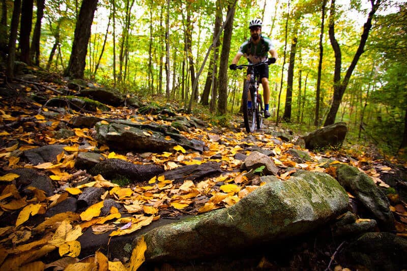
25. Mohican State Park
- Closest town/city: Loudonville, OH
- Mileage: 23 miles
- % Singletrack: 95%
- Route type: Loop
- Elevation gain & loss: +1,655 ft / -1,655 ft
- Difficulty: Advanced
- Year inducted: 2017
- Map/GPS: TrailForks, MTB Project
Highlights
Enjoy some of the best singletrack trails in Ohio!
Route Notes
Oregon
26. North Umpqua
- Closest town/city: Rosebury, OR
- Mileage: 72 miles
- % Singletrack: 95%
- Route type: One-way
- Elevation gain & loss: +4,143 ft / -7,880 ft
- Difficulty: Advanced
- Year inducted: Not specified
- Map/GPS: TrailForks, MTB Project
Highlights
Endless singletrack through beautiful old-growth forest and opportunities to explore hot springs and waterfalls along the route.
Route Notes
27. Surveyors Ridge
- Closest town/city: Hood River, OR
- Mileage: 20 miles
- % Singletrack: 95%
- Route type: One-way
- Elevation gain & loss: +3,133 ft / -3,506 ft
- Difficulty: Intermediate/Advanced
- Year inducted: 2015
- Map/GPS: MTB Project
Highlights
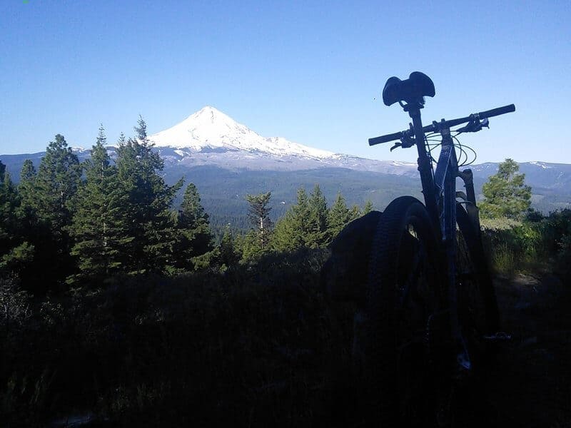
Rugged Pacific Northwest mountain biking singletrack with incredible views out over Mt. Hood
Route Notes
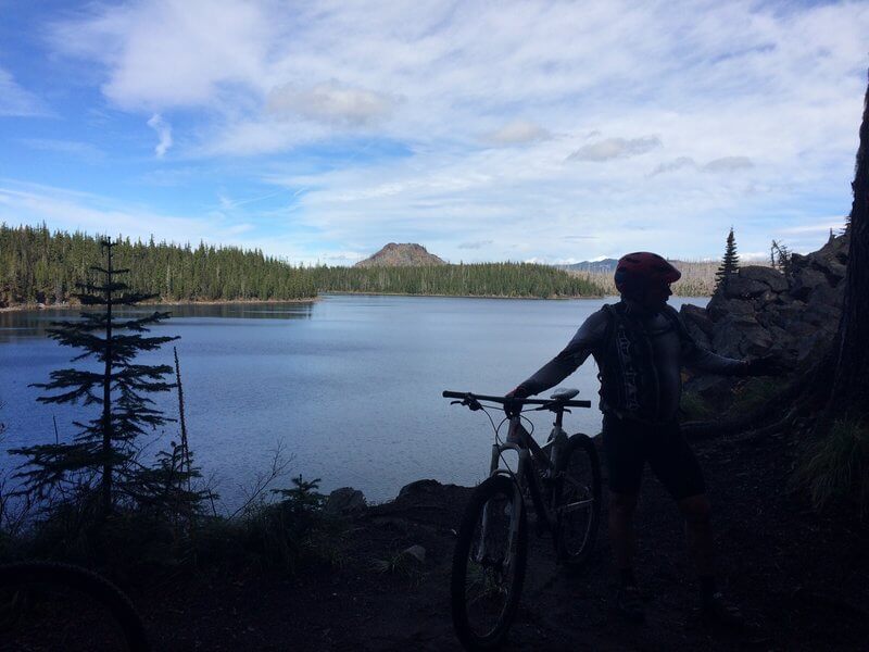
28. Waldo Lake
- Closest town/city: Oakridge, OR
- Mileage: 20 miles
- % Singletrack: 100%
- Route type: Loop
- Elevation gain & loss: +1,081 ft / -1,081 ft
- Difficulty: Intermediate
- Year inducted: Not specified
- Map/GPS: TrailForks, MTB Project
Highlights
Experience one of the clearest lakes in all of the U.S.
Route Notes
Pennslyvania
29. Rattling Creek
- Closest town/city: Lykens, PA
- Mileage: 22 miles
- % Singletrack: 85%
- Route type: Loop
- Elevation gain & loss: +1,739 ft / -1,739 ft
- Difficulty: Advanced
- Year inducted: 2011
- Map/GPS: TrailForks, MTB Project
Highlights
Great east coast riding full of chunky rocks, beautiful hardwood forests, and flowy sections that never last quite as long as you’d like.
Route Notes
30. Rothrock TrailMix
- Closest town/city: State College, PA
- Mileage: 36 miles
- % Singletrack: 80%
- Route type: Loop
- Elevation gain & loss: +4,220 ft / -4,220 ft
- Difficulty: Advanced
- Year inducted: 2013
- Map/GPS: TrailForks, MTB Project
Highlights
Fun variety of ridgetop riding, techy sections, flowy singletrack, and solid climbs.
Route Notes
Tennessee
31. Big South Fork
- Closest town/city: Oneida, TN
- Mileage: 34 miles
- % Singletrack: 85%
- Route type: Loop
- Elevation gain & loss: +2,249 ft / -2,249 ft
- Difficulty: Intermediate
- Year inducted: 2012
- Map/GPS: TrailForks, MTB Project
Highlights
Rugged backcountry feel throughout the ride with a good mix of slickrock-like sandstone, old hardwood ridge sections, and clifftop singletrack next to 200′ drop-offs.
Route Notes
Texas
32. Fresno-Sauceda Loop
- Closest town/city: Presidio, TX
- Mileage: 60 miles
- % Singletrack: 40%
- Route type: Loop
- Elevation gain & loss: +3,914 ft / -3,914 ft
- Difficulty: Advanced
- Year inducted: 2010
- Map/GPS: TrailForks, MTB Project
Highlights
Rugged backcountry feel throughout the ride with a good mix of slickrock-like sandstone, old hardwood ridge sections, and clifftop singletrack next to 200′ drop-offs.
Route Notes
33. Goodwater Loop
- Closest town/city: Georgetown, TX
- Mileage: 26 miles
- % Singletrack: 80%
- Route type: Loop
- Elevation gain & loss: +837 ft / -837 ft
- Difficulty: Advanced
- Year inducted: Not specified
- Map/GPS: TrailForks, MTB Project
Highlights
This loop has lots of technical and fun riding and intermittent sections of singletrack that weaves its way through the cedars and prickly pear cactus along the banks of the San Gabriel River. There is also some doubletrack with awesome views of the San Gabriel River prairies.
Route Notes
Utah
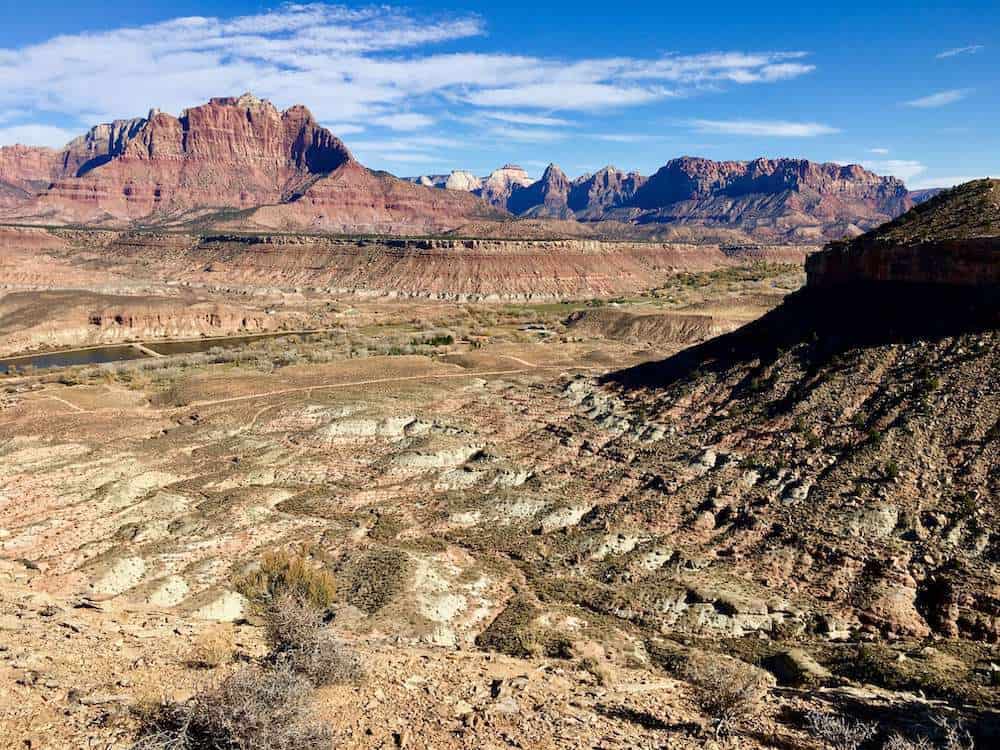
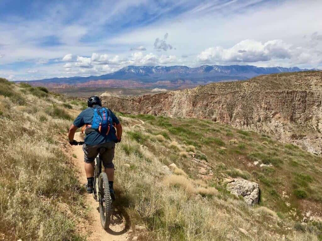
34. Hurricane Cliffs Rim Loop
- Closest town/city: Hurricane, UT
- Mileage: 24 miles
- % Singletrack: 90%
- Route type: Loop
- Elevation gain & loss: +1,523 ft / -1,523 ft
- Difficulty: Intermediate/Advanced
- Year inducted: 2011
- Map/GPS: TrailForks, MTB Project
Highlights
Epic views out over Zion National Park and fun desert singletrack with lots of flowy sections.
Route Notes
Read next: Want to ride the Hurricane Cliffs Rim Loop? Use my trail guide to plan your adventure.
35. Mid-mountain trail
- Closest town/city: Park City, UT
- Mileage: 23 miles
- % Singletrack: 85%
- Route type: Loop
- Elevation gain & loss: +2,351 ft / -2,351 ft
- Difficulty: Intermediate/Advanced
- Year inducted: Not specified
- Map/GPS: TrailForks, MTB Project
Highlights
Beautiful mountain singletrack with ridgeline views, aspen groves, and seasonal wildflowers.
Route Notes
Virginia
36. Southern Traverse
- Closest town/city: Harrisonburg, VA
- Mileage: 36 miles
- % Singletrack: 40%
- Route type: Loop
- Elevation gain & loss: +3,970 ft / -3,970 ft
- Difficulty: Advanced
- Year inducted: Not specified
- Map/GPS: TrailForks, MTB Project
Highlights
Challenging singletrack that takes you through a historic Civil War battlefield while climbing 3,000 feet of elevation in the George Washington National Forest.
Route Notes
Washington
37. Ape Canyon to Plains of Abraham
- Closest town/city: Cougar, WA
- Mileage: 20 miles
- % Singletrack: 80%
- Route type: Out-and-back
- Elevation gain & loss: +2,648 ft / -2,648 ft
- Difficulty: Advanced
- Year inducted: 2009
- Map/GPS: TrailForks, MTB Project
Highlights
A journey back in time to the scene of the Mt. St. Helens eruption. Incredible moonscape views, pumicey singletrack, and potential mountain goat sightings.
Route Notes
Wisconsin
38. Rock Lake
- Closest town/city: Cable, WI
- Mileage: 27 miles
- % Singletrack: 90%
- Route type: Loop
- Elevation gain & loss: +1,524 ft / -1,524 ft
- Difficulty: Intermediate/Advanced
- Year inducted: Not specified
- Map/GPS: TrailForks, MTB Project
Highlights
A linkup of deep woods singletrack and one of the longest skinny-trail routes in the Upper Midwest. Includes a 103’ long narrow bridge crossing.
Route Notes
West Virginia
39. Gauley Headwaters
- Closest town/city: Marlinton, WV
- Mileage: 45 miles
- % Singletrack: Not specified
- Route type: Loop
- Elevation gain & loss: +5,113 ft / -5,113 ft
- Difficulty: Advanced
- Year inducted: Not specified
- Map/GPS: TrailForks, MTB Project
Highlights
Rooty, rocky, backcountry loop deep in the Allegheny Mountains of West Virginia
Route Notes
40. Spruce Knob to Seneca Creek
- Closest town/city: Riverton, WV
- Mileage: 18 miles
- % Singletrack: 70%
- Route type: Loop
- Elevation gain & loss: +1,950 ft / -1,950 ft
- Difficulty: Advanced
- Year inducted: 2009
- Map/GPS: TrailForks, MTB Project
Highlights
Pedal to the top of Spruce Knob, which at 4,863 feet, is the highest point in West Virginia. Also pass by waterfalls and enjoy at fun descent down Huckleberry.
Route Notes
Wyoming
41. Curt Gowdy
- Closest town/city: Cheyenne, WY
- Mileage: 25 miles
- % Singletrack: 100%
- Route type: Loop
- Elevation gain & loss: +2,846 ft / -2,846 ft
- Difficulty: Advanced
- Year inducted: 2009
- Map/GPS: TrailForks, MTB Project
Highlights
Pedal through different landscapes including high plains, upland montane, and riparian.
Route Notes
42. Grand Targhee
- Closest town/city: Alta, WY
- Mileage: 29 miles
- % Singletrack: 100%
- Route type: Loop
- Elevation gain & loss: +3,482 ft / -3,482 ft
- Difficulty: Advanced
- Year inducted: 2014
- Map/GPS: TrailForks
Highlights
Pedal through different landscapes including high plains, upland montane, and riparian.
Route Notes
Australia
43. Mt. Bueller
- Closest town/city: Victoria, Australia
- Mileage: 25 miles
- % Singletrack: 100%
- Route type: One-way
- Elevation gain & loss: +4,085 ft / -7,175 ft
- Difficulty: Advanced
- Year inducted: 2014
- Map/GPS: TrailForks
Highlights
A descent-oriented, long cross-country loop through a variety of environments and trail experiences.
Route Notes
Canada
44. Beowulf
- Closest town/city: Vernon, BC
- Mileage: 22 miles
- % Singletrack: 100%
- Route type: One-way
- Elevation gain & loss: +4,273 ft / -4,273 ft
- Difficulty: Intermediate/Advanced
- Year inducted: 2018
- Map/GPS: TrailForks
Highlights
This loop takes riders along ridgelines, through cedar rainforests and grassy meadows as it covers all the types of terrain that SilverStar Resort has to offer.
Route Notes
45. Seven Summits
- Closest town/city: Rossland, BC
- Mileage: 22 miles
- % Singletrack: 95%
- Route type: One-way
- Elevation gain & loss: +3,488 ft / -6,269 ft
- Difficulty: Intermediate/Advanced
- Year inducted: 2007
- Map/GPS: TrailForks, MTB Project
Highlights
A spectacular point-to-point traverse of the Rossland Range with typical BC technical features along the way.
Route Notes
46. Warner Lake
- Closest town/city: Lilloet, BC
- Mileage: 25 miles
- % Singletrack: 100%
- Route type: One-way
- Elevation gain & loss: +3,622 ft / -5,987 ft
- Difficulty: Intermediate
- Year inducted: 2016
- Map/GPS: TrailForks
Highlights
The incredible beauty of the South Chilcotin mountains. You’ll ride past the glacier-fed Trigger and Hummingbird lakes, through grasslands and alpine meadows that are dotted with beautiful aspen groves and wildflowers, along rocky sections of trail that have some mild exposure and spectacular valley views
Route Notes
Finland
47. Sininen Saavutus
- Closest town/city: Suomussalmi, Finland
- Mileage: 32 miles
- % Singletrack: 85%
- Route type: Loop
- Elevation gain & loss: +1,082 ft / -1,082 ft
- Difficulty: Advanced
- Year inducted: 2017
- Map/GPS: TrailForks, MTB Project
Highlights
Experience the beautiful Taiga forest in mid-easter Finland. You can also see mysterious rock paintings and enjoy flowy sections of trail.
Route Notes
Iceland
48. Laugavegur Route
- Closest town/city: Selfoss, Iceland
- Mileage: 54 miles
- % Singletrack: 95%
- Route type: One-way
- Elevation gain & loss: +7,572 ft / -9,432 ft
- Difficulty: Advanced
- Year inducted: 2015
- Map/GPS: MTB Project
Highlights
Ride singletrack through a mind-blowing array of landscapes featuring geysers, multi-colored rhyolite mountains, waterfalls, endless lava fields, and glaciated mountain vistas.
Route Notes
New Zealand
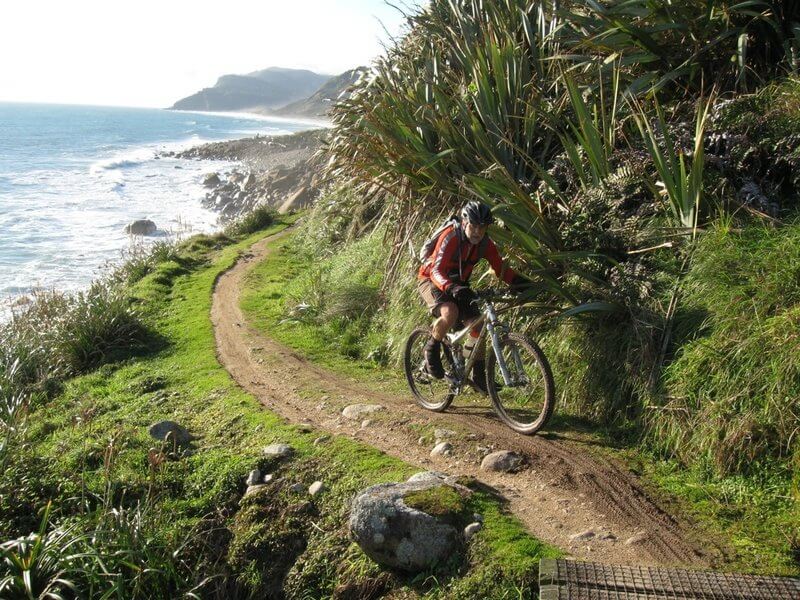
49. Heaphy Track
- Closest town/city: Nelson, New Zealand
- Mileage: 48 miles
- % Singletrack: 100%
- Route type: One-way
- Elevation gain & loss: +7,594 ft / -7,937 ft
- Difficulty: Advanced
- Year inducted: 2017
- Map/GPS: TrailForks, MTB Project
Highlights
An outstanding, multi-day backcountry ride through amazing bush, sub-alpine, and coastal scenery.
Route Notes
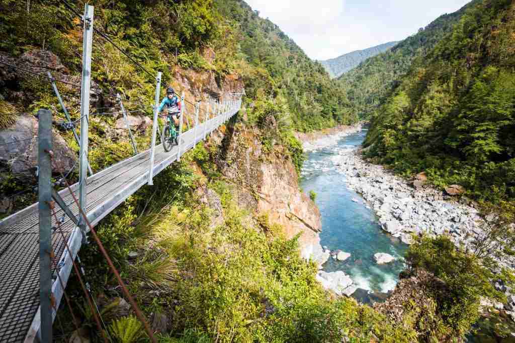
50. Old Ghost Roads
- Closest town/city: Westport, NZ
- Mileage: 50 miles
- % Singletrack: 100%
- Route type: One-way
- Elevation gain & loss: +7,316 ft / -7,556 ft
- Difficulty: Advanced
- Year inducted: 2017
- Map/GPS: TrailForks, MTB Project
Highlights
The long-forgotten ‘gold miners’ road leading from Lyell to the mighty Mokihinui River, The Old Ghost Road winds its way through remote valleys, across mountain tops, and down river gorges.
Route Notes
Switzerland
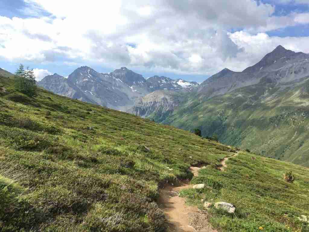
51. Alps Epic trail
- Closest town/city: Davos, Switzerland
- Mileage: 26 miles
- % Singletrack: 90%
- Route type: One-way
- Elevation gain & loss: +2,891 ft / -7,800 ft
- Difficulty: Intermediate/Advanced
- Year inducted: 2013
- Map/GPS: TrailForks, MTB Project
Highlights
Stunning views of the Alps with many biergartens along the way. The majority of the route is singletrack, taking you through alpine meadows, forested valleys, and idyllic farmland.
Route Notes
Wales

52. Afan Forest Park
- Closest town/city: Port Talbot, Wales
- Mileage: 26 miles
- % Singletrack: 90%
- Route type: One-way
- Elevation gain & loss: +3,586 ft / -3,586 ft
- Difficulty: Intermediate
- Year inducted: 2011
- Map/GPS: TrailForks
Highlights
Narrow, twisty trails that open into well-crafted jump lines. Great flow and grippy rocks abound and the trails hold up well to the soaking Welsh climate.
Route Notes
RELATED POSTS
Looking for more mountain biking round-ups? Check out these related blog posts:
What are your favorite IMBA Epic mountain bike rides? Which ones have you done and which ones are on your bike-it list? Let us know in the comments!


Good summary. I’ve been particularly itching to bike the Black Canyon Trail, but never have. Good to have this list.
The BCT is on my bike-it list, too. I was supposed to do it in the spring, but threw my back out a few days before 🙁